
Having seen what we came to see in Misty Fjords, it was time to turn our attention to the capstone of the trip – Haida Gwaii. We pulled anchor on Friday the 23rd and headed south towards the US-Canada border. As with our trip north, we’d stop in Foggy Bay on the way south to break the trip into two manageable legs.

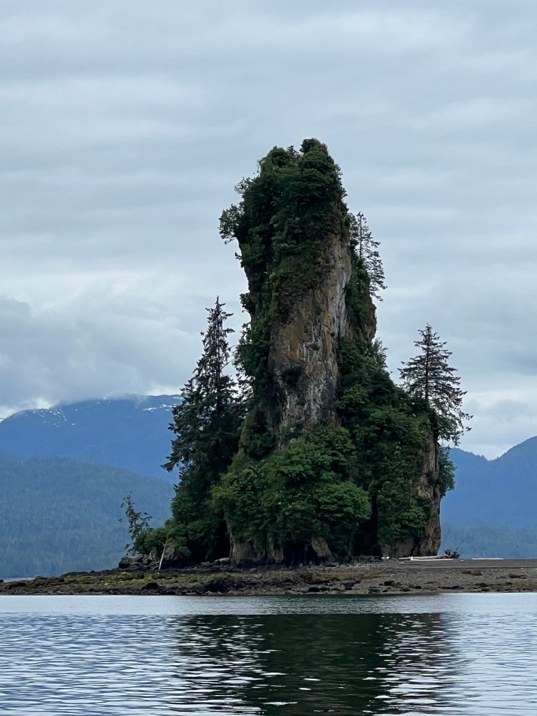
As we exited Rudyard Bay, we cruised across out of our way to catch a glimpse of New Eddystone Rock, which was named by George Vancouver for its resemblance to the Eddystone Lighthouse off of Plymouth, England. The rock was formed is a basalt intrusion that erupted as the ice sheets melted off at the end of the last ice age, approximately 15,000 years ago. As the Earth’s crust underwent isostatic rebound, cracks formed in places allowing basaltic magma to intrude from below. New Eddystone Rock is the only such intrusion to show above the waterline, others having been eroded by wave action. Given that the original intrusion was likely conical, it’s amazing that so much has eroded in just 15 millennia, a very brief period in geological sense.
Foggy Bay didn’t disappoint as a place to stop. As an anchorage it is a wide, mud-bottom bay with about 30′ depth throughout. Great holding, and you can see out into the Revillagigedo Channel through a gap. The only downside is that some swell will enter the harbor through this gap at high tide, but it’s not all that bad.
We saw a family of black bears again, at least the mother and two cubs. Perhaps the same family we saw on our way north. We also ran into Eric and Wendy of Escape, who had been on our LeConte tour with us and were also headed south. We were both planning to cross the Dixon Entrance back to Prince Rupert the next day, and agreed to meet up there for a cocktail.
The next day we left early in the morning, about 5am, just a bit after Escape had pulled anchor. The swell wasn’t predicted to be all that bad, but motoring out of the bay we encountered some waves in excess of two meters, which build as they approach the shallows. We pounded through these at low speed, trying to prevent the bows from crashing into the following waves. Once we reached deep water the wave state became more acceptable and we moved faster to the south.
As we entered open water at the Dixon Entrance I was struck again at how the current predictions did not match reality. At least this time it was in our favor – NOAA predicted a strong westerly current that we’d have to crab against to clear the east side of Dundas Island. This current was virtually nonexistent, and we made better time that I had expected.
As we were approaching Prince Rupert near slack tide, I was more confident going through Venn Passage as a shortcut. As usual, I was underwhelmed by the difficulty – the passage was well delineated with channel markers, and plenty wide to pass traffic headed in the opposite direction without concern.
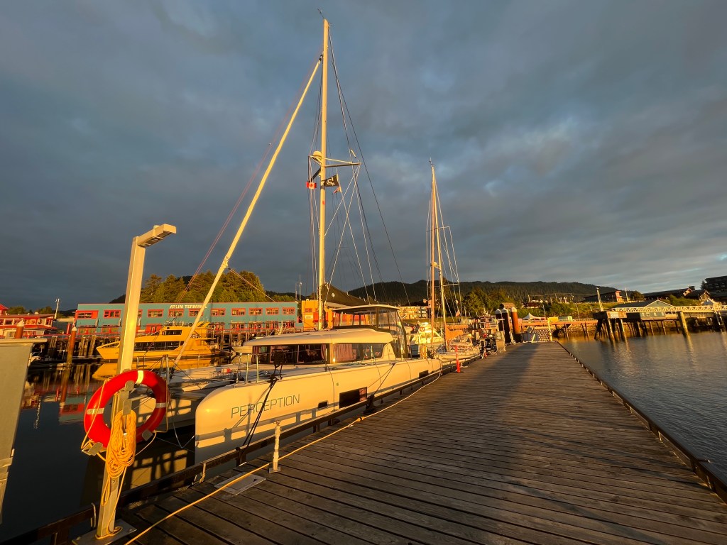
We soon saw Prince Rupert before us, and pulled up to the customs dock at Cow Bay Marina to clear in. It took a bit longer to get through compared to our entry earlier in the spring, presumably more traffic into Canada this time of year. We made a quick trip to the fuel dock, and settled into our slip for the evening – this time inside the breakwater. It was a much better position than we had outside the breakwater on our way north, and this time we watched a motor yacht on the outside take the beating from incoming wakes that we had experienced then.
We met up with Eric and Wendy, and had a wonderful time chatting with them over drinks and dinner at Breakers Pub. It was really our first time socializing with other cruisers, and it was great to hear of their experiences, especially as they had been cruising the BC coast for years. The next morning I met up again with Eric and he showed me a few recommendations for stopping on the way back south. He and Wendy also invited us to stop by and see their farm on Thormanby Island on our way south.
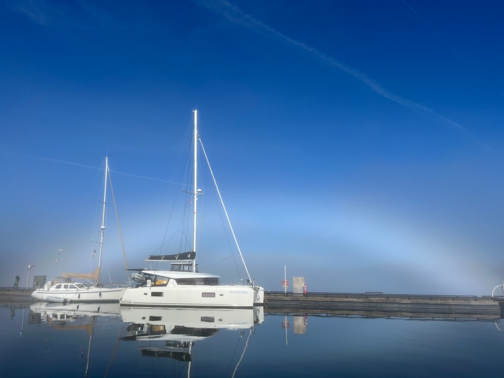
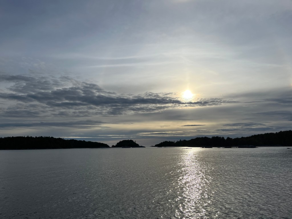
We stayed a couple days in Prince Rupert to reprovision and clean. Sunday morning a fog had rolled in, and the rising sun created an interesting fogbow that was fun to photograph.
Monday we headed south once more. The forecast was showing that we would have settled conditions for a crossing on Tuesday, and possibly also Thursday or Friday. As conditions Tuesday looked best, we decided to make the dash to set up for the crossing.
We headed to Larsen Harbor, a narrow inlet on the north end of Banks Island. This would put us as close as possible to the start of the shortest crossing of the Hecate Strait to Skidegate Inlet on Haida Gwaii.
