
Now south of Cape Caution, the Perception crew set its sights on seeing some of the places we had missed on the way north. We knew we wanted to see at least some of Desolation Sound – how could we pass that up completely? We’d also received warm recommendations for several other places from cruisers we’d met along the way this summer, especially for Lagoon Cove and Blind Channel Resort. We added these to our “must see” list on our way down to Desolation Sound. We also heard about Waiatt Bay and a nice hike it offered to the boat-bound from a neighboring diner/boater at a restaurant in Port McNeill.
We weren’t quite sure yet where we would stay there, maybe multiple places, but figured a stop at Refuge Cove would be in order, and Tenedos Bay or Prideaux Haven beyond that. With this in mind, we sketched out a path for the next several days that would bring us to Desolation Sound.
Our first stop on the way out from Port McNeill was another obligatory pass at Alert Bay and the First Nations center there. When we came through on the way north, we missed seeing this due to a power grid shutdown on Vancouver Island that also impacted Alert Bay. Melinda and Grace went ashore for a morning stop to see this while I worked from the boat.
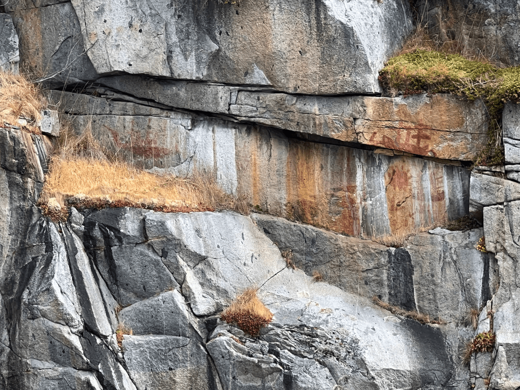
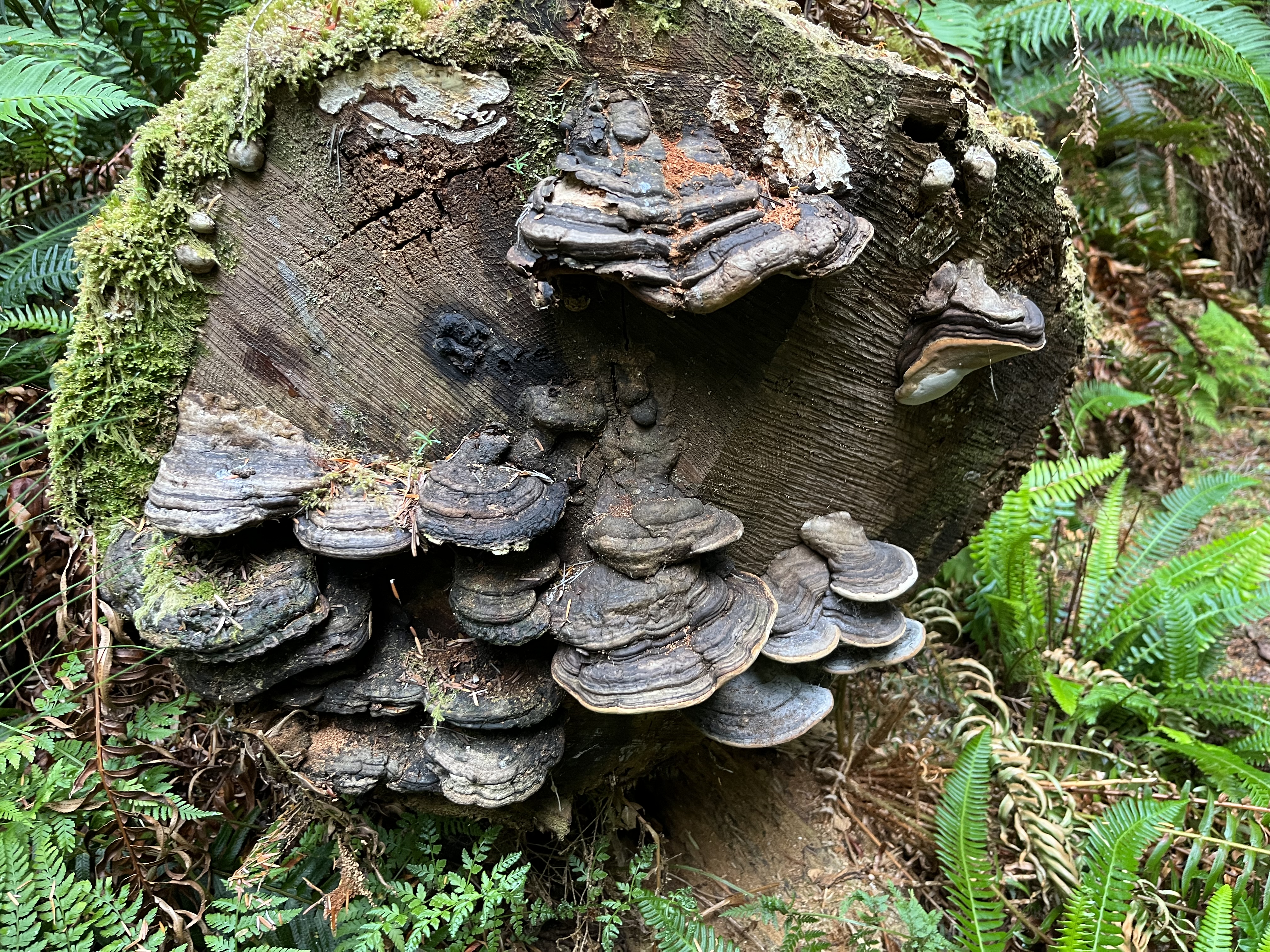
After Alert Bay, we went on towards Village Island. We’d read about the First Nations site at Mamalilaculla, and thought it would be good to see. Along the way we passed the petroglyphs at “Chief’s Bathtub” on Berry Island and were able to see the designs drawn there from the boat as we passed.
When we reached Mamalilcula, we found that the anchorage was quite small and a pair of crab pots were centered in the place we’d want the boat to swing. After puzzling for a bit, we bailed out and headed further to the east to Native Anchorage. This was a relatively open inlet, but was well protected by the surrounding archipelago to afford us very little wave motion.
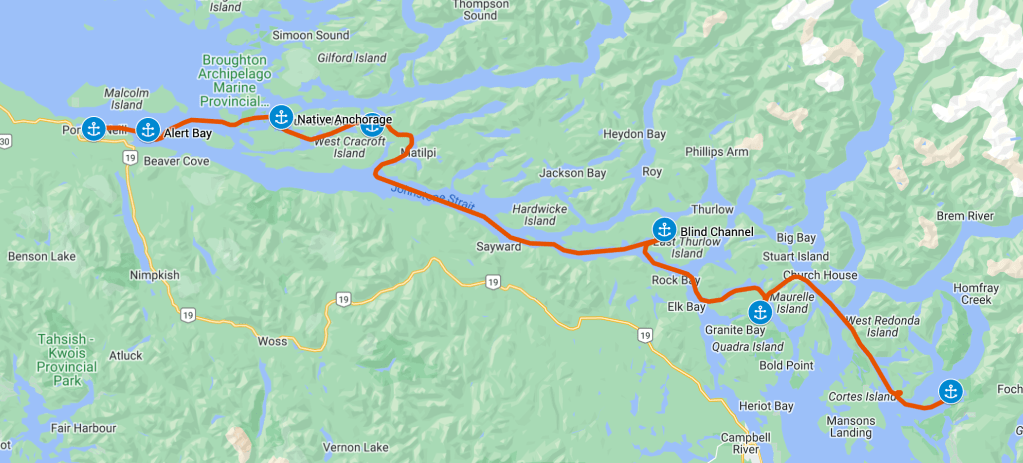
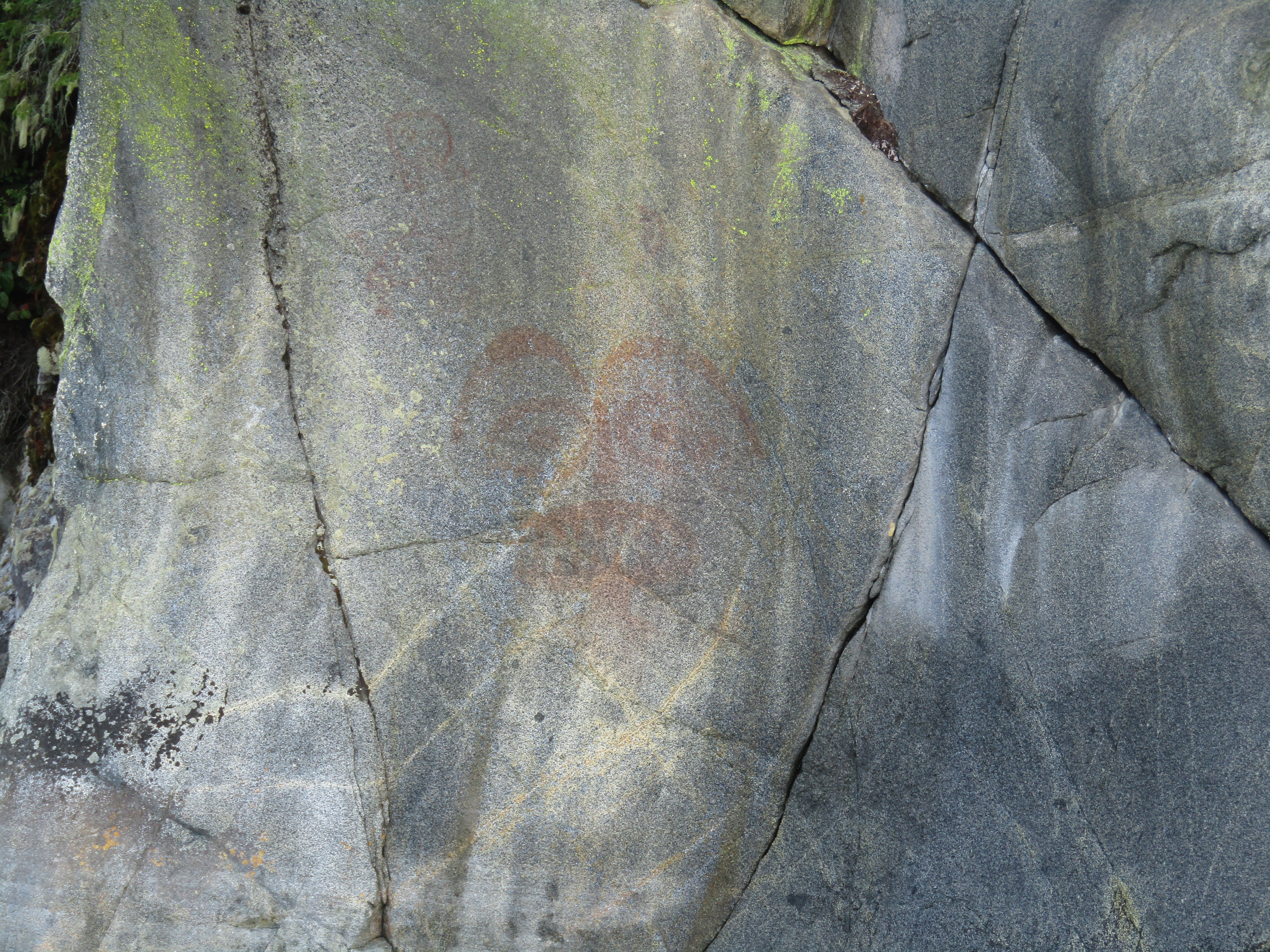
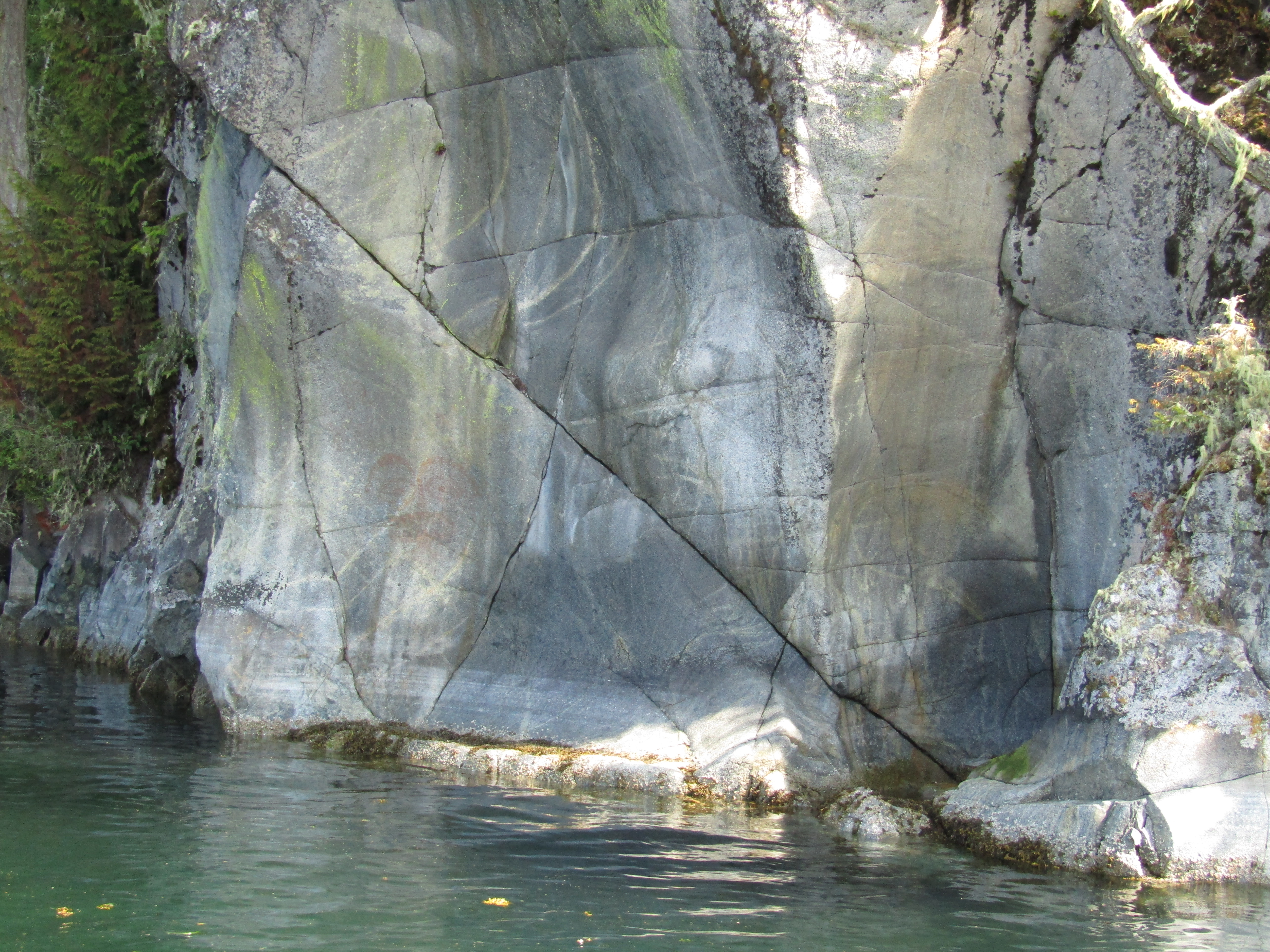
Heading on to Lagoon Cove the next day, we passed the petroglyphs on Turnour Island. These reportedly show drawings of early European ships as seen by the people of the First Nations. These were right on the water as with those on Berry Island, so we were again able to view them from the deck of the boat a we passed.
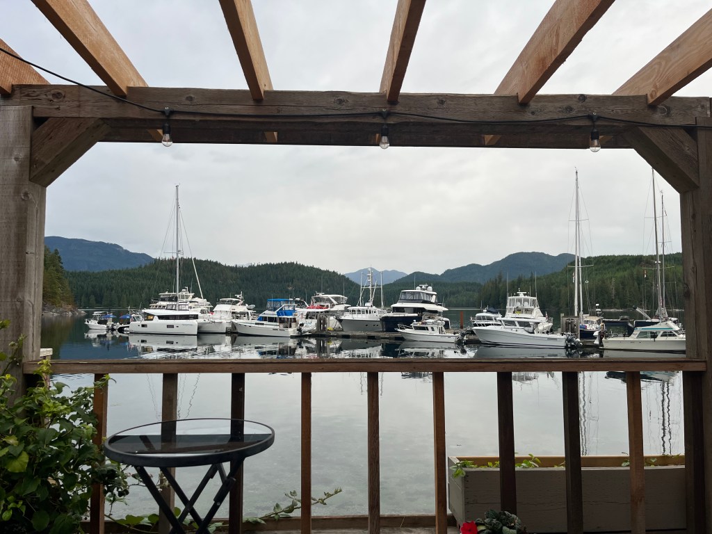
Tying up at the docks in Lagoon Cove, we found a helpful and friendly welcome from the proprietors. We also found that the marina’s cooler full of ice cream bars was right off our port transom! Water was a precious commodity here, and the staff helped pull the single hose around to each boat in turn to fill water tanks.
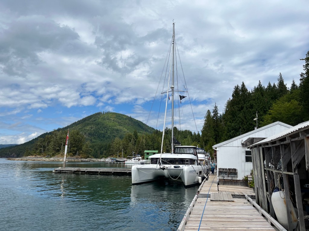
Unlike the unrealized promise of a get together at Sullivan Bay, the daily prawn feed at Lagoon Cove was well attended by crews of the visiting boats. I’m sure it helped that the prawns were free! We found the company entertaining, dining and chatting with several other boaters who were visiting that day.
We also did a bit of hiking ashore at Lagoon Cove. Although the trails were not all that well developed or maintained, we enjoyed the opportunity to stretch our legs.
Sunday we were back on the move, this time returning to the dreaded Johnstone Strait. We’d had a terrible time beating up the channel in the spring, with the ebb current against the wind forming steep, harsh waves that we had to pound through for hours to progress.
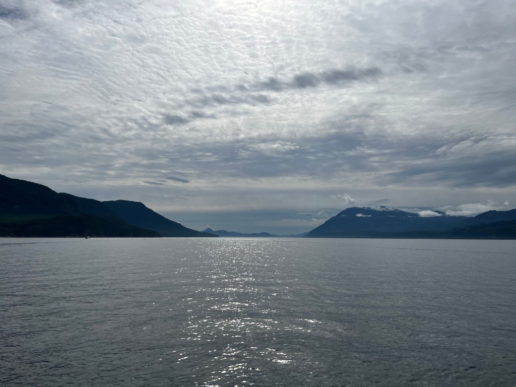
Not so today, the strait was smooth and the wind was behind us. Our only complaint was in transiting on a day when the current was largely against us. We were motoring against 3 knots of current at times, especially going through Race Passage, slowly ticking off the miles as we crawled along. Some day we will learn patience in our travels, and let weather and tides dictate our travel more than work schedules.
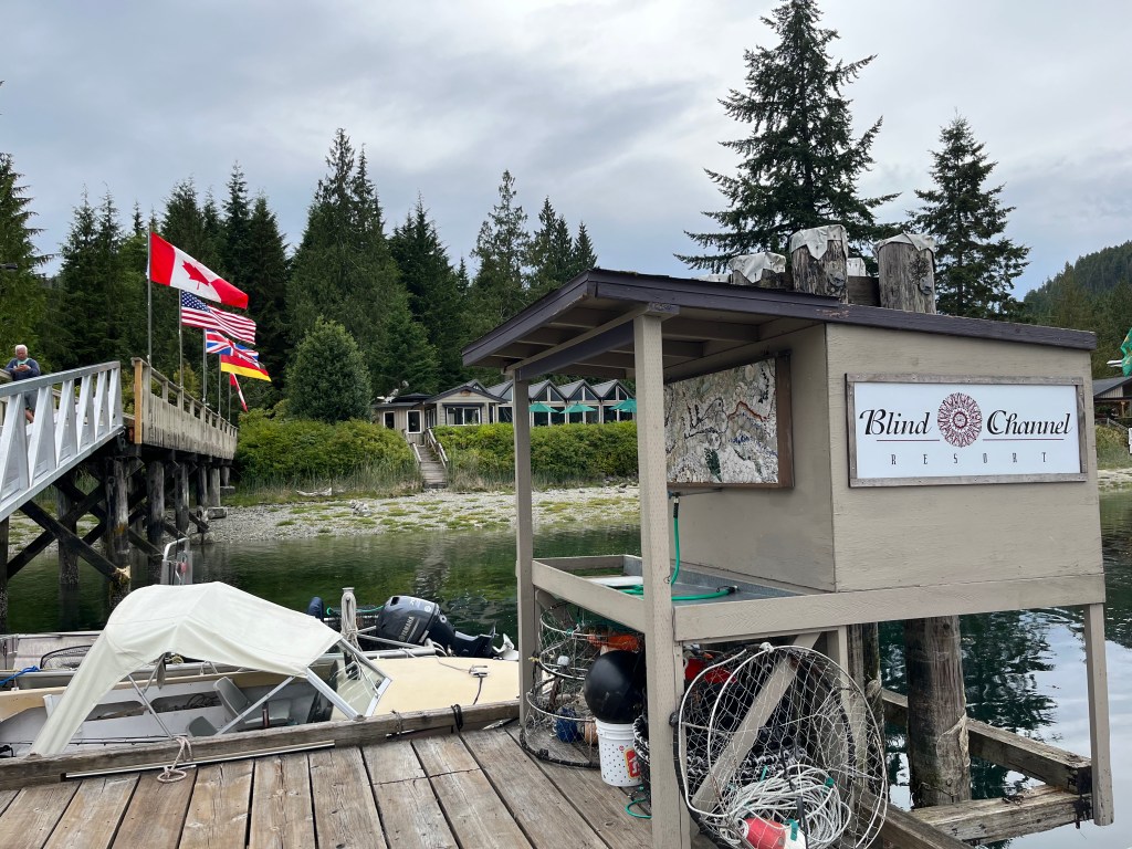
We arrived at Blind Channel Resort late in the afternoon and the staff at the resort directed us to tie up on the inside of the dock. Later on one of the owners of the resort stopped by and warned that we were above the shallowest spot on the dock. He warned that we should try to get off early the next day before low tide – we would likely be fine with our shallow draft, but boats trying to get around us might go aground. We were planning to head out early the next day for the Octopus Islands, so it worked out fine for us.
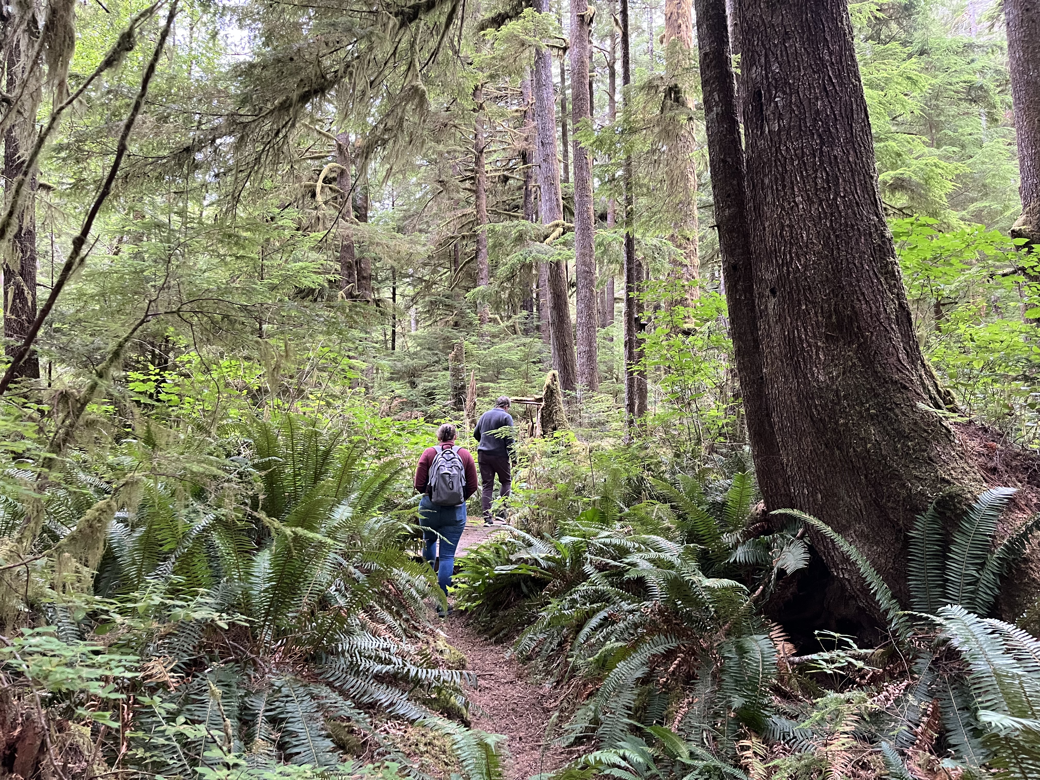
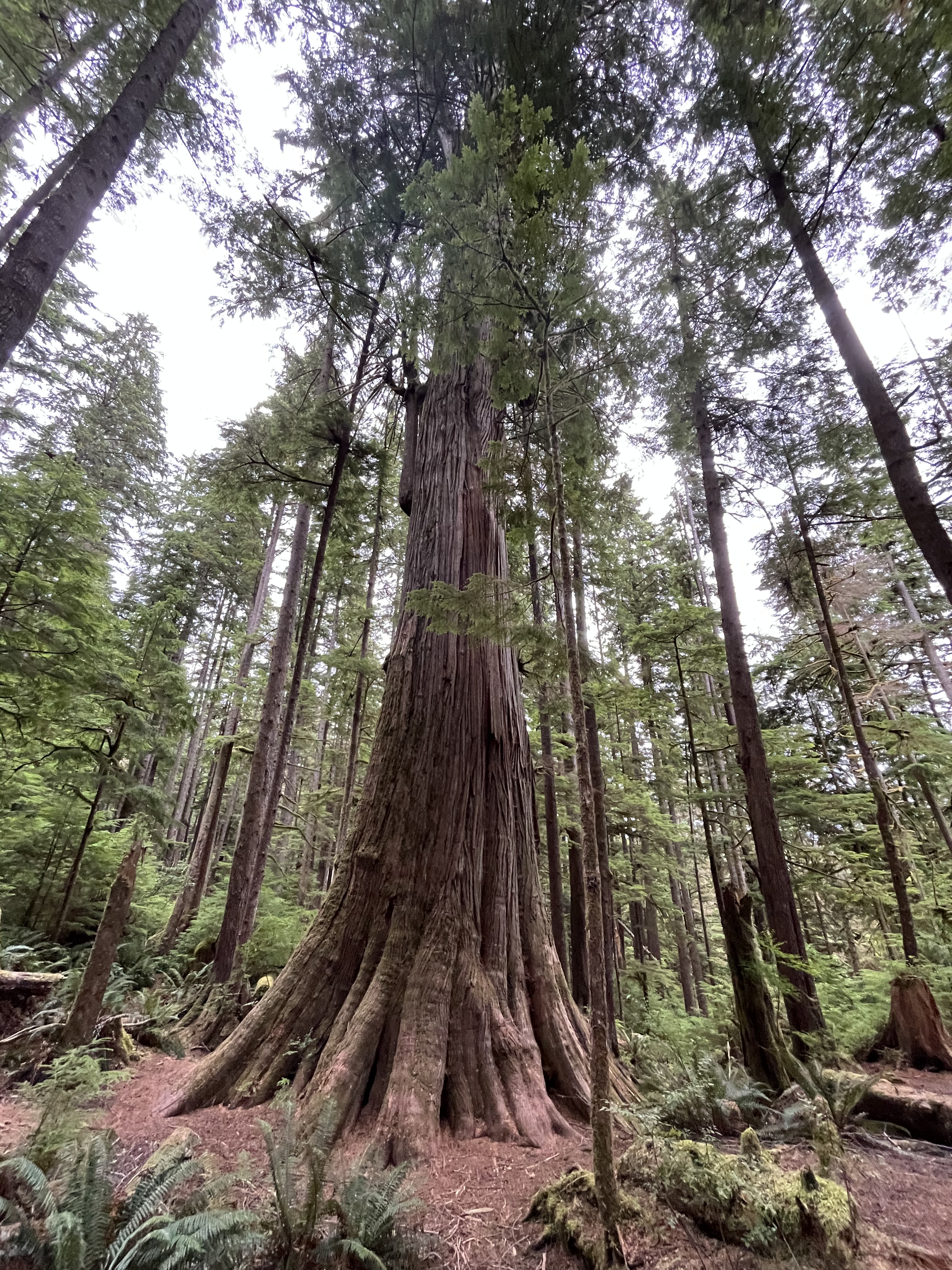
We dined at the resort that evening, and took an nice hike through the forest above the channel. The trails were well maintained and we loped through the cedar forest breathing in the scent of the trees.
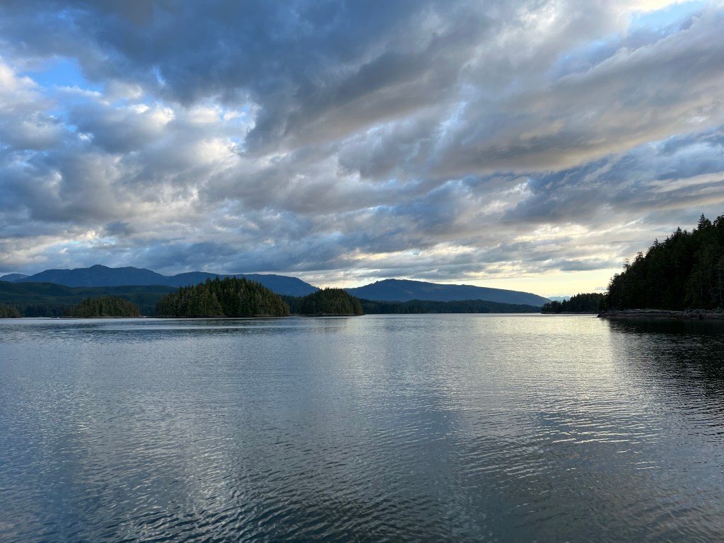
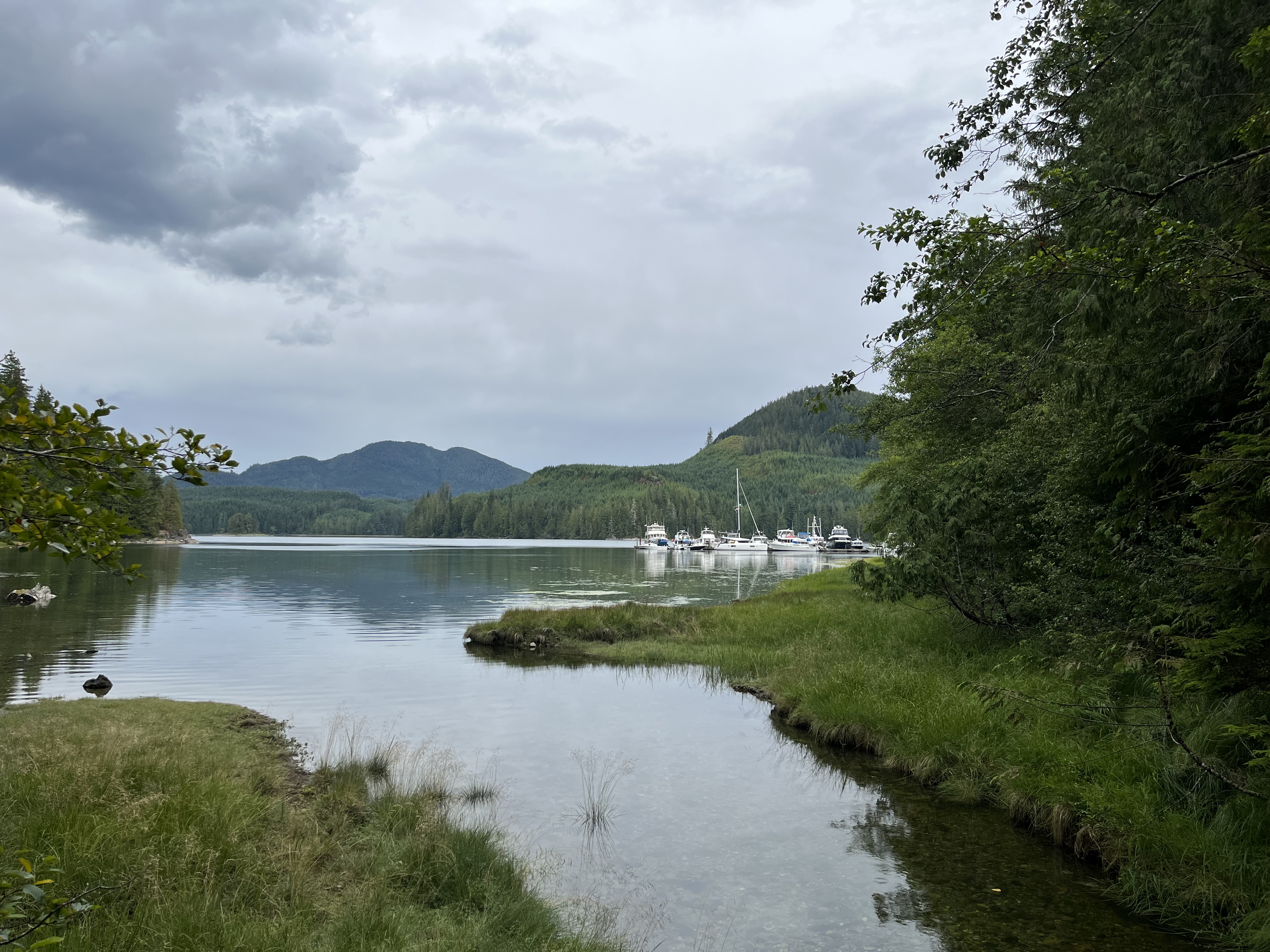
Monday was another work week for me, and Melinda piloted us through the rapids in Okisollo Channel at slack tide while I zoomed away the hours over Starlink. We punched through the narrow channel into Waiatt Bay with no trouble, though the boat traffic was relatively heavy there. We’d followed a number of boats through the rapids and most seemed to be headed for Waiatt Bay. We found about thirty boats in the bay, far more than we’d seen in any one place for months!
The crew had hoped to take a well recommended hike up to Newton Lake above the bay, but rain had set in and we spent the day holed up on Perception. The next morning we headed out for Desolation Sound, transiting the Hole in the Wall at slack tide.
By this time in our journey the transit of rapids had been reduced to a minor inconvenience in terms of timing. Despite the many warnings about them, as long as you are transiting at or near slack tide they are as calm as any other part of the voyage. I’m not sure why one would choose to do any different. We still haven’t seen one of the rapids in the area at high current, but some reportedly have large overfalls, eddies, and rips that can swamp a boat trying to pass through. Ignoring the tides and passing through when the current is running high would be decidedly nuts.
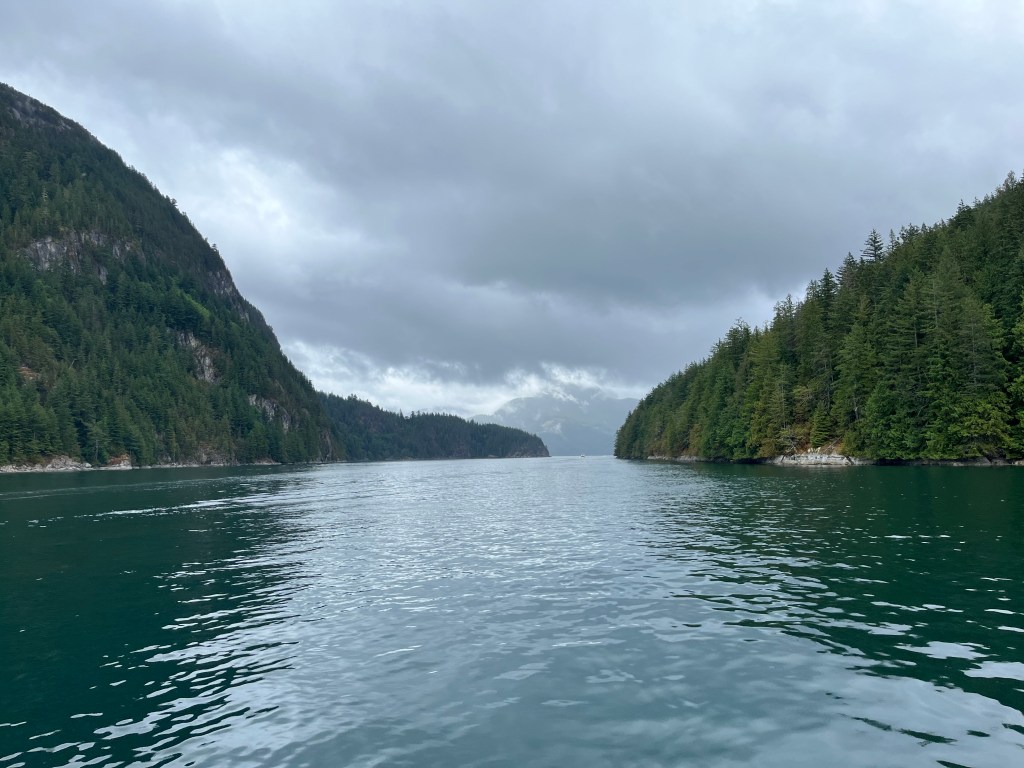
Once through Hole in the Wall, we turned south towards Lewis Channel. The rain started in on us, really coming down hard. It was our first experience being able to see the rain with our radar, appearing as a red wall ahead as we approached the heavy downpour. We proceeded cautiously through these as visibility was low and the radar was largely swamped by the signature of the rainfall.
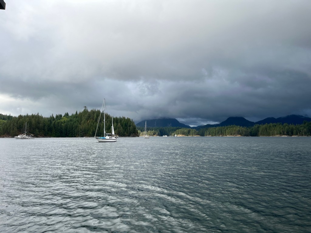
We arrived at the entry of Refuge Cove to find that the bay was packed. There were multiple boats just holding station in the harbor, waiting for dock space to come ashore. It was hopeless to think we’d be staying there overnight. After picking our way through the crowd of boats in the cove, we headed back out and pointed Perception towards Tenedos Bay.

My spirits fell as we headed north into Desolation Sound. We could see many targets on AIS ahead of us, and knew it only represented a small percentage of the boats actually there. Several motor yachts were powering ahead of us towards our destination, and I feared that we’d not find any respectable anchorage when we arrived.
The bay was indeed quite the zoo, especially compared to what we’d grown accustomed to seeing further north. We wended our way through the bay looking for a possible spot to drop our hook. At the very back of the bay where there is a drying channel around the large (unnamed?) islet in Tenedos Bay, we found a clearing. We dropped our hook in a relatively narrow space and pulled back to the shore with our stern line.
We spent two days here relaxing and enjoying with mild amusement the sounds of other boaters around us. We’d been more isolated than not over the last couple months that it was somewhat comforting to hear dogs barking and kids screaming at play. In hindsight, we really should have hit these popular anchorages on the way north in May when we would have found fewer crowds and more peace and quiet.
