
As sailors we like to go when the going is good. Optimally we go when the weather, waves, and tides favor a safe and comfortable voyage. I do most of the weather routing on Perception, looking at government generated data on wind and wave state forecasted out a couple weeks ahead of the present time. I use a data viewing tool that takes the government’s “Gridded Binary”, or GRIB files and overlays the data on a map in an easy to visualize way. I do this at least daily when we are on the move or at anchor, and will only skip a day when we are docked somewhere safe for a while.
After completing the Baja Ha-Ha and arriving in Cabo San Lucas, I woke the next morning and began planning our departure north into the Sea of Cortez. Going into the Sea was a must-do for us, as we’d had such a good time cruising there with our friends on a charter boat a few years ago. We wanted to see La Paz properly, and spend time working our way north past the anchorages we’d previously visited. Grace also had a vested interest here in that some of her study-abroad time had been in the Sea of Cortez, and she wanted to revisit some of those places as well.
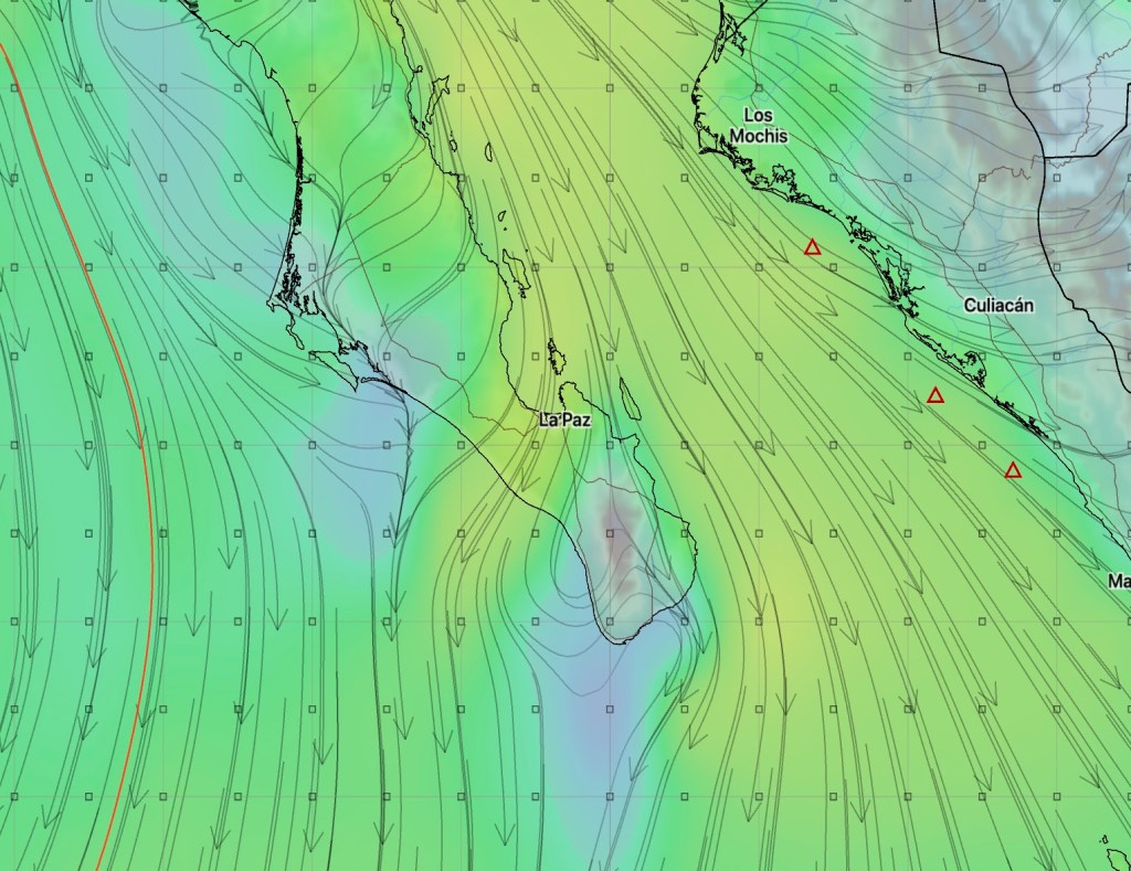
From a weather standpoint, things looked a bit challenging to me for a voyage north. In the winter, the Sea of Cortez is often beset by “Northers”, or systems with strong northerly winds blowing down the length of the Sea. These winds build some nasty, sharp-edged waves by the time they reach the southern end of the Sea, which is where we’d be sailing next. It was Friday morning in Cabo, and the GRIB files were showing just a short lessening of winds on Sunday and Monday before picking up in intensity for another week. It was starting to look like there was no middle ground – either we leave very soon or stay for a long time.
By Saturday morning we decided we’d pull up and head north the next day. As described in our last post, we scrambled around a bit to get ready on Saturday, and raised anchor in the pre-dawn light on Sunday.
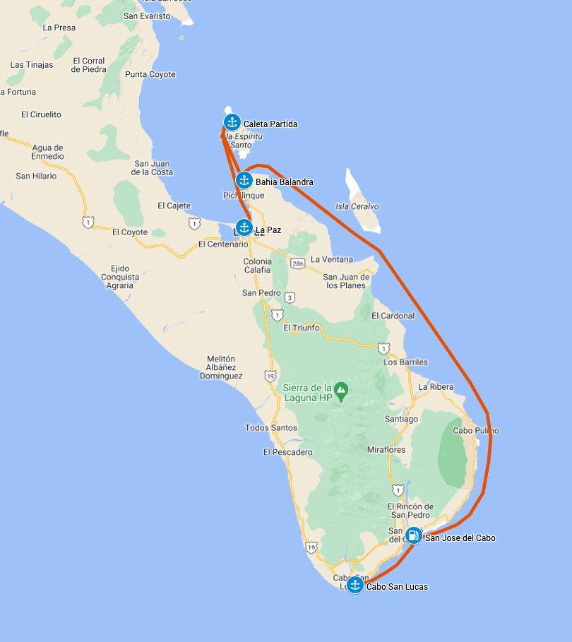
We had not yet fueled up after our long run down the Baja Peninsula, so one of our first orders of business was to find a fuel dock. We hadn’t been able to fuel up in Cabo San Lucas, in part because two superyachts were tied at the fuel dock making it unusable. It finally did open late Saturday, but there was a crowd waiting to get in and we didn’t want to be part of the ensuing chaos. We decided we’d try to fuel up at San Jose del Cabo just down the coast and called ahead to confirm they would be open. We tucked into the marina and pulled up to the vacant Puerto Los Cabos fuel dock.
We filled ‘er up with 372 liters of diesel, or 62% of our capacity. Not too shabby for covering 750 nautical miles of variable wind conditions, plus the 20 nm from Cabo to the fuel dock. Certainly better than our typical consumption. We also picked up 5 liters of gasoline to replace what we’d used in the generator and dinghy along the way.
We headed back out into open waters and made our way towards the mouth of the Sea of Cortez. As the land began rounding northward, the sea state began to worsen. Soon we were hitting waves that were causing our hulls to slam. It wasn’t so much the front edge of the waves as the back. The back side was very steep and would dump our bows down into the trough to meet the next wave coming at us. About every ten waves we would slam down hard on one. The waves were coming directly on our nose, so we turned a bit off course to quarter them, effectively reducing their frequency and steepness on our hull. We then cut engine speed when quartering wasn’t enough.
It was a long, slow day creeping up the coast in very uncomfortable waves. A number of Baja Ha-Ha boats were going the same way, most all of them were monohulls. They seemed to have an easier time of it with their heavier hulls cutting through the waves while our lighter hulls bobbed on top. Most of these boats tucked into Los Frailes, an anchorage near the easternmost tip of the peninsula. We continued onwards into the night, wanting to get the pain over with before the winds picked up further.
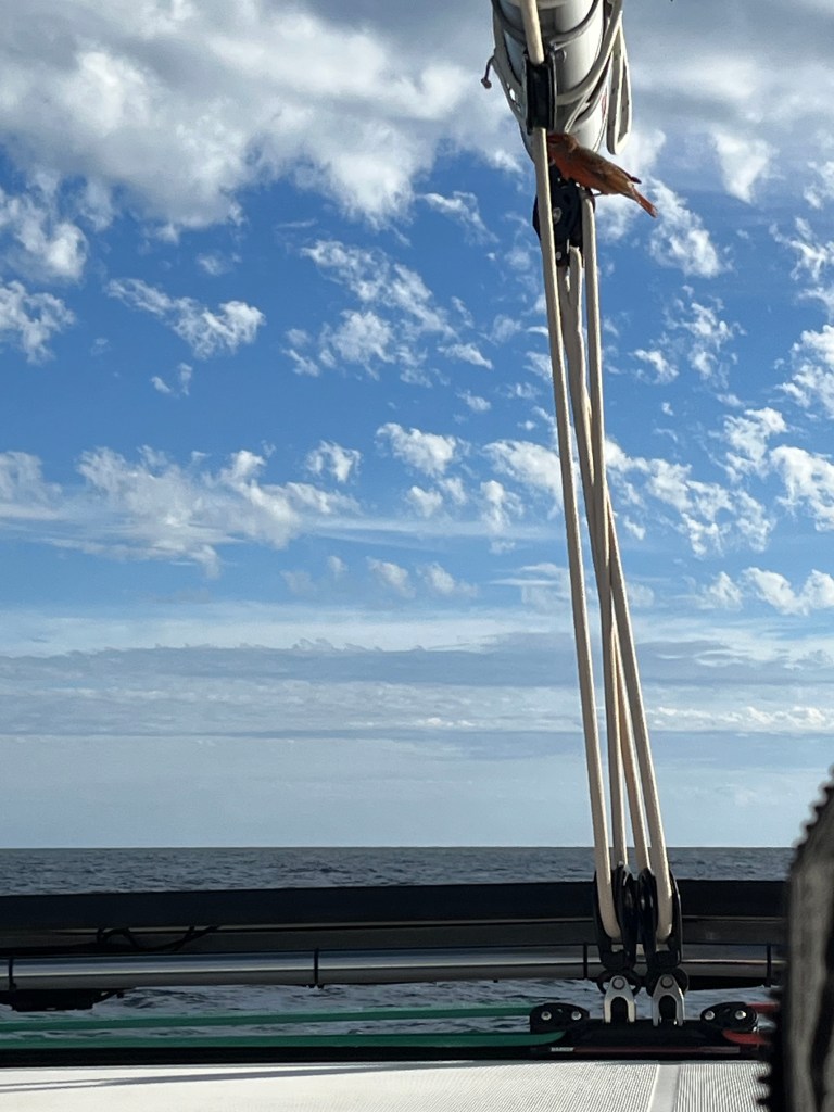
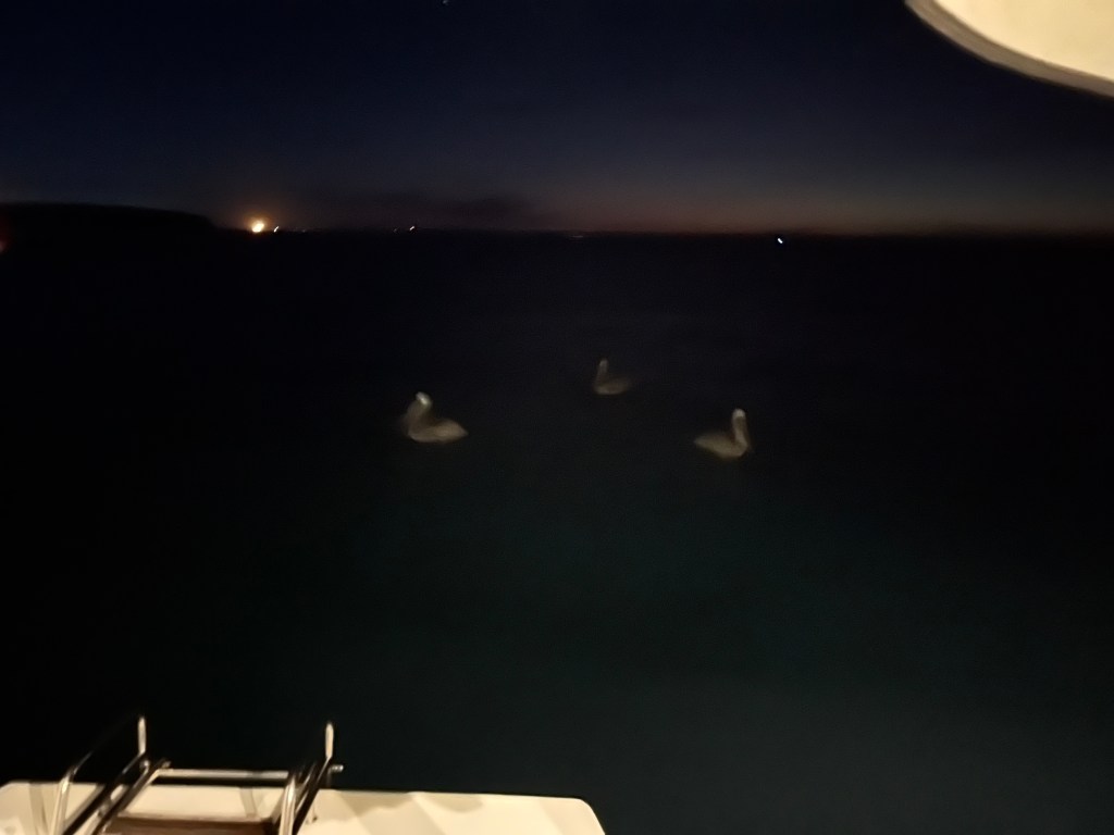
Earlier in the day we had picked up a passenger. A little red finch-like bird had hitched a ride along with us. He’d fly off and disappear for a bit, then show up again clinging to one of the lines or sitting on the edge of a solar panel. He became my little beacon of hope that the day would end safely. After all, how bad a shape could we be in if the little guy was choosing to ride along with us?
As the evening deepened, the winds thankfully began to die some. Once past Punta Arena we were also able to turn westward a bit, helping keep the waves off our nose. Once we got into the semi-shelter of Isla Ceralvo, the sea state became much more comfortable and we were able to speed up some.
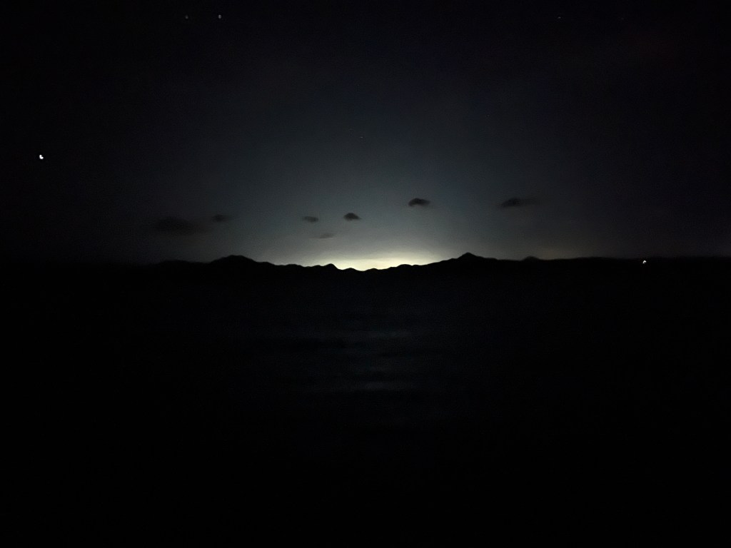
As we made our way up the coast, we began seeing the light rise in the west. I was confused for a moment, then realized this light was coming from La Paz across the hills on the peninsula. We were getting close!
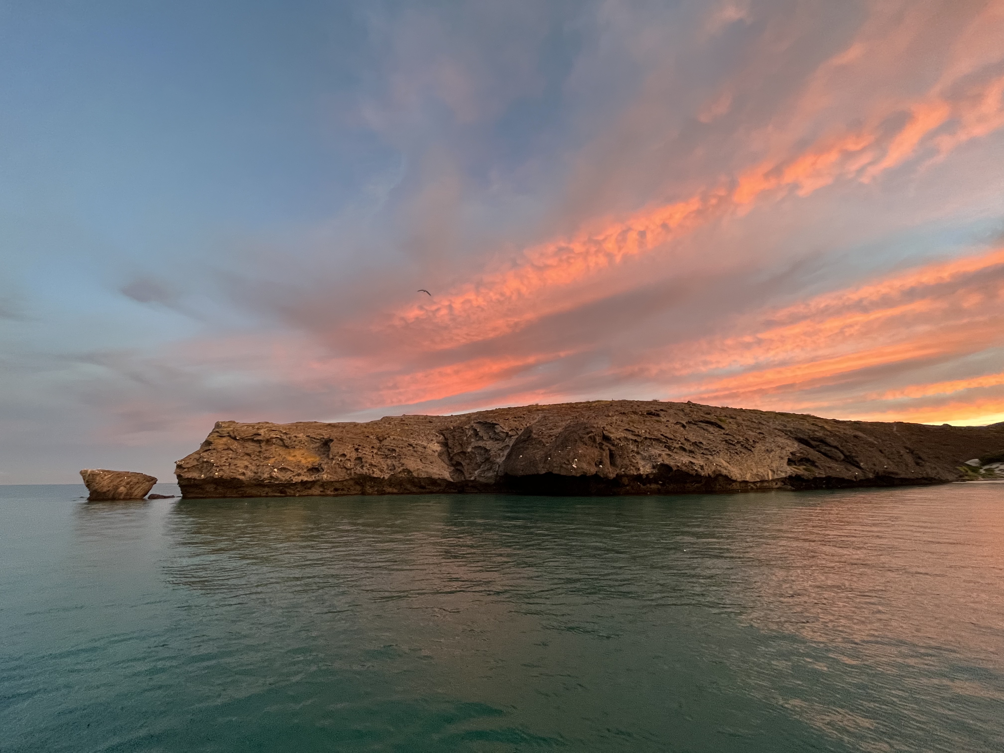
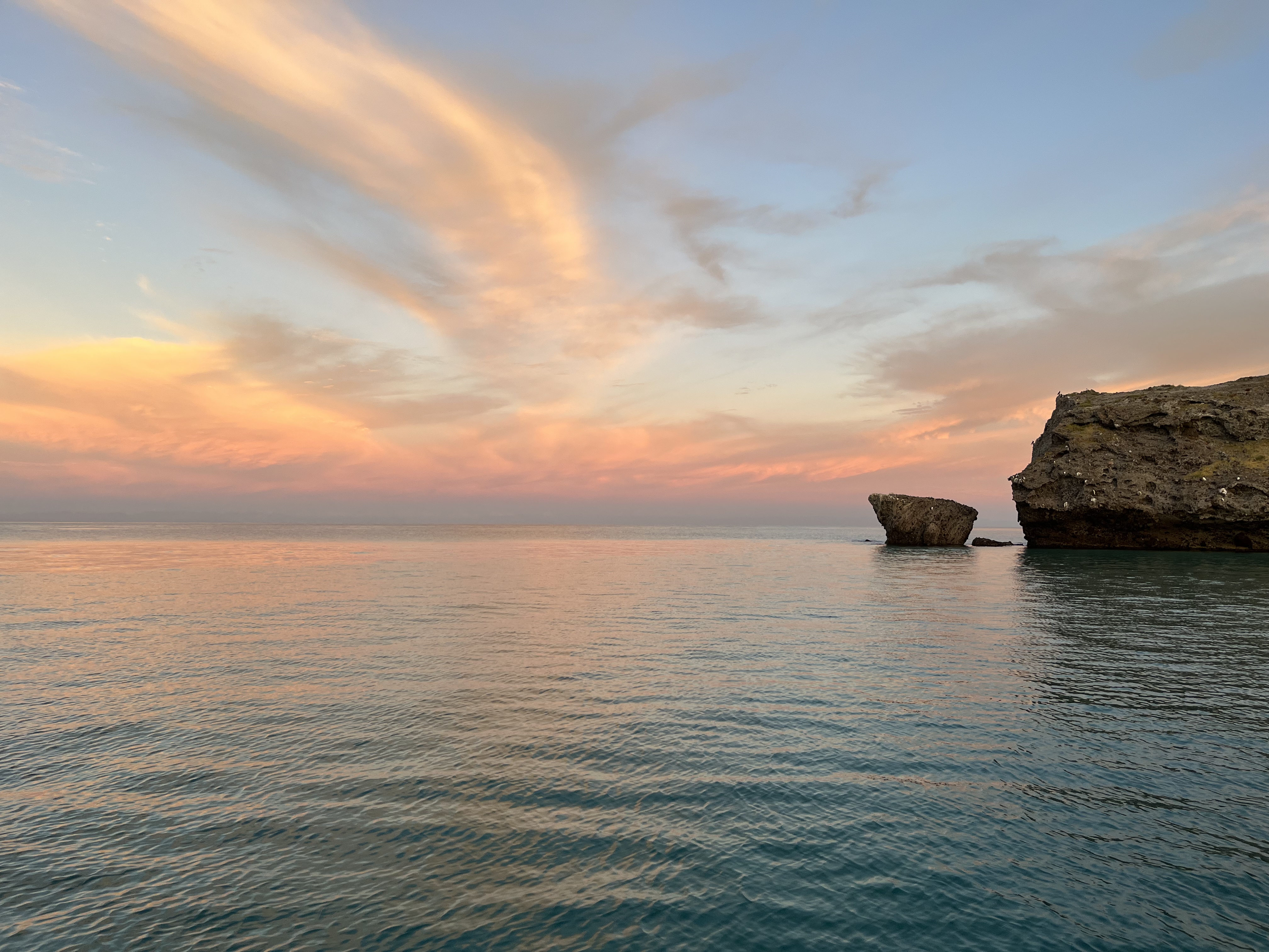
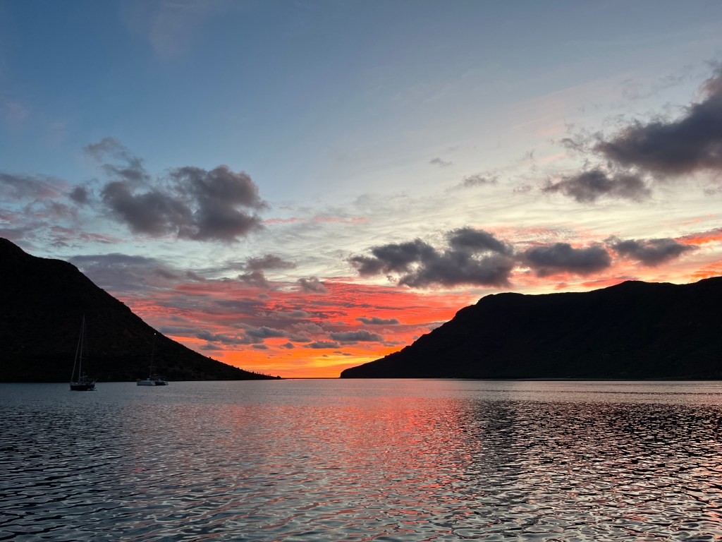
As the sun began to light the sky, we entered the channel between the Peninsula and Isla Espiritu Santo, one of our favorite places in the Sea of Cortez. We’d taken a bashing, but had finally arrived in a place we had looked toward for a long time.
We didn’t want to deal with the challenges of the La Paz anchorage after a long night sail, so we tucked into Bahia Puerto Balandra, a nice little bay north of the city. It was a relief to drop the anchor and relax in the calm waters. Sadly, it was also a Monday, and the first meeting of my day job began just hours after we landed.
The day passed restfully for the most part, and worked on our plans for entering La Paz. It had been so long since we’d been at a dock with fresh water to wash down the boat, that we really wanted to get into a marina in La Paz. We were salty dogs at this point, especially after beating up into the Sea, with salt spray regularly washing over the boat and infusing itself into everything in the cockpit. Melinda spent the day calling around to see if we could sneak into a vacant slip, even for a few hours, just to wash down the boat.
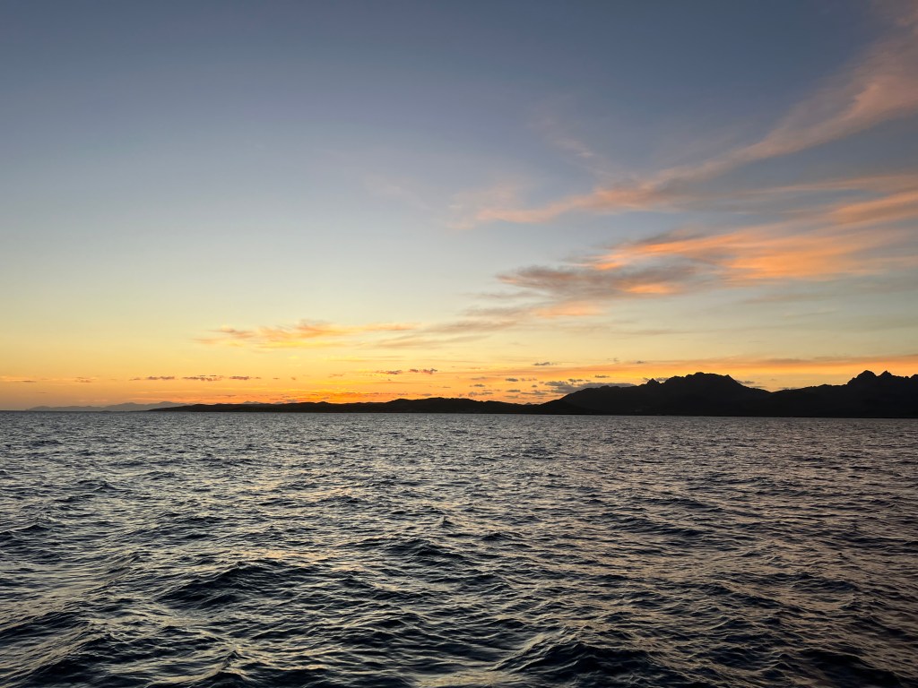
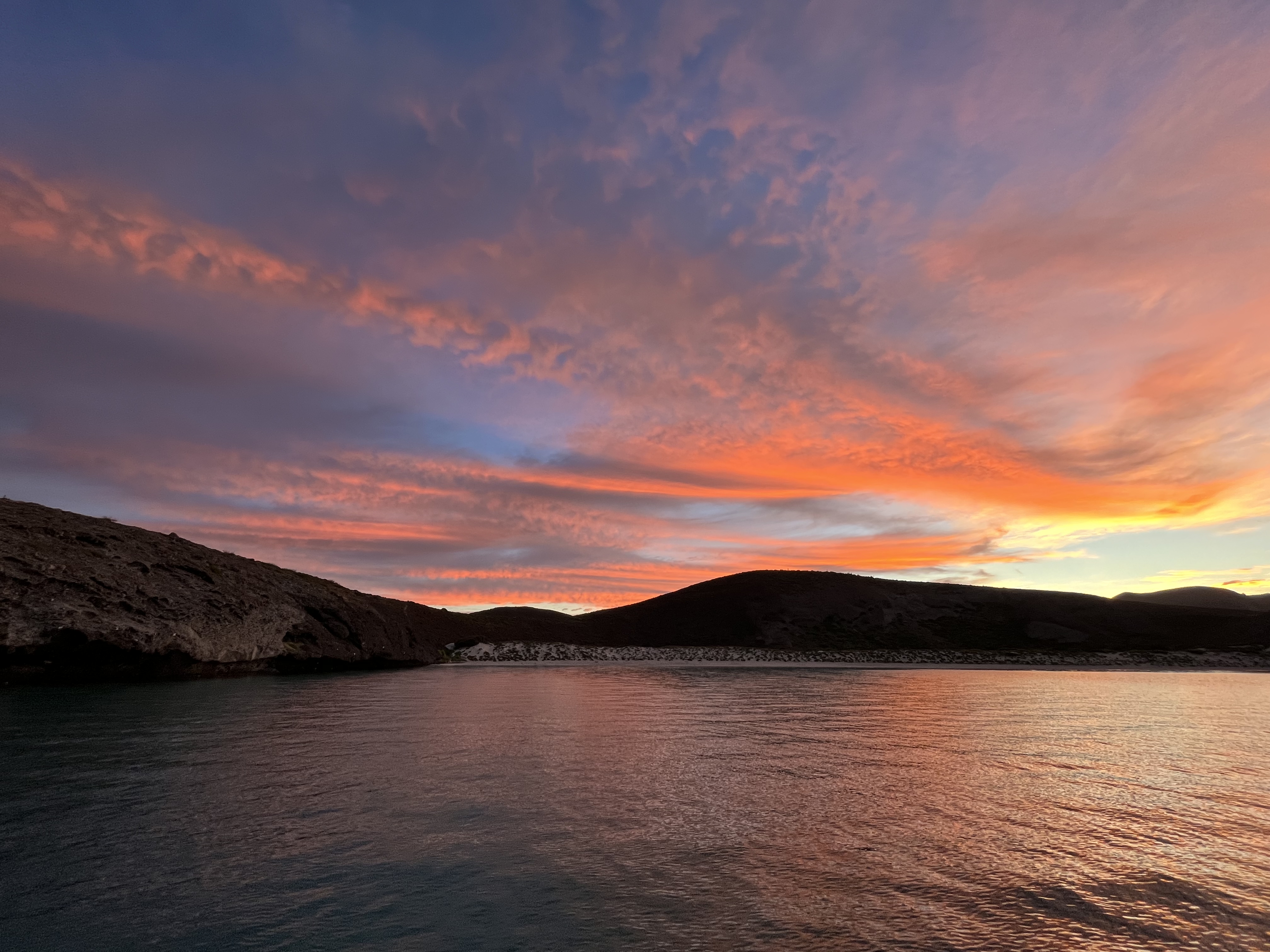
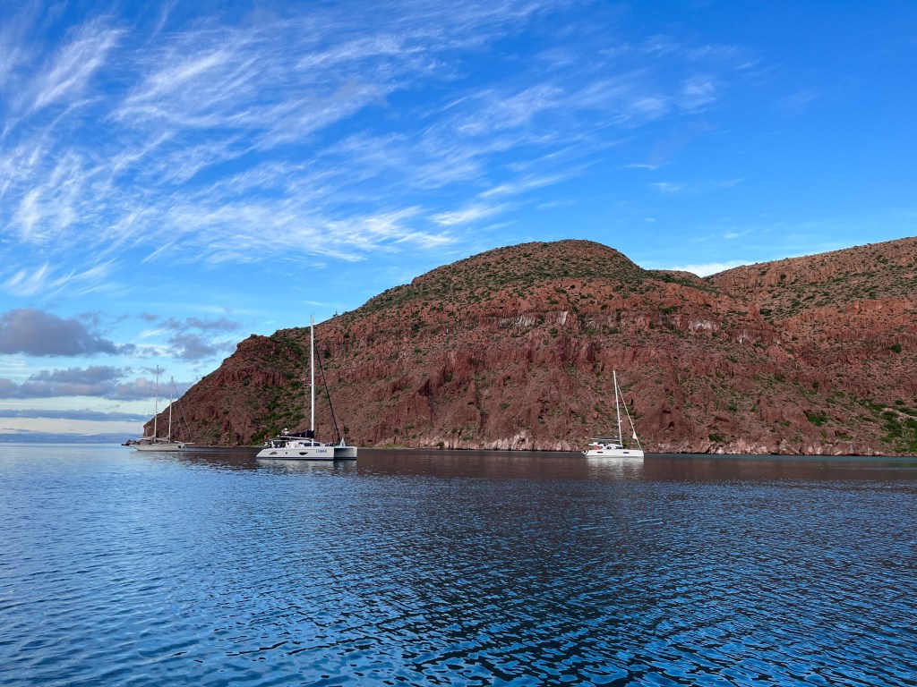
We had no luck but were still hopeful that we might get something to open up in a few days. As such, we decided to take the short hop up to Isla Espiritu Santo for a few days while we waited. We woke on Tuesday to a beautiful pastel sky and headed up to the island.
We ended up anchoring in Caleta Partida, roughly translated as “divided cove”. This anchorage is between Isla Espiritu Santo and Isla Partida, the next island to the north. We ended up anchoring next to a few other Baja Ha-Ha boats who had also made it up into the Sea. We hadn’t been in the anchorage all that long when a fellow dropped by in a dinghy and offered us a big filet from a mahi-mahi he had just caught, which we graciously accepted. Fresh fish for dinner, courtesy of another boater!
After working at it for two days, we were still unsuccessful at securing a spot in a marina. We resigned ourselves that our next unlimited source of fresh water would be at Puerto Escondido, still more than a week north of La Paz. We still wanted to spend time in La Paz, so we raised anchor on Thursday morning and made our way southwards to the city.
La Paz is situated on a shallow channel that feeds a large lagoon to its west. The channel is formed by the land on which La Paz is built, and a large sandbar, “El Mogote”, which runs parallel to this. The daily tides cause a significant flow of water in this channel through the the city’s anchorage, in and out of the lagoon. This tidal flow can be several knots, reversing direction between high and low tides. This tidal current is independent of the prevailing wind, and the two forces will do interesting things to the boats at anchor. It is special enough to have garnered the name of the “La Paz Waltz”.
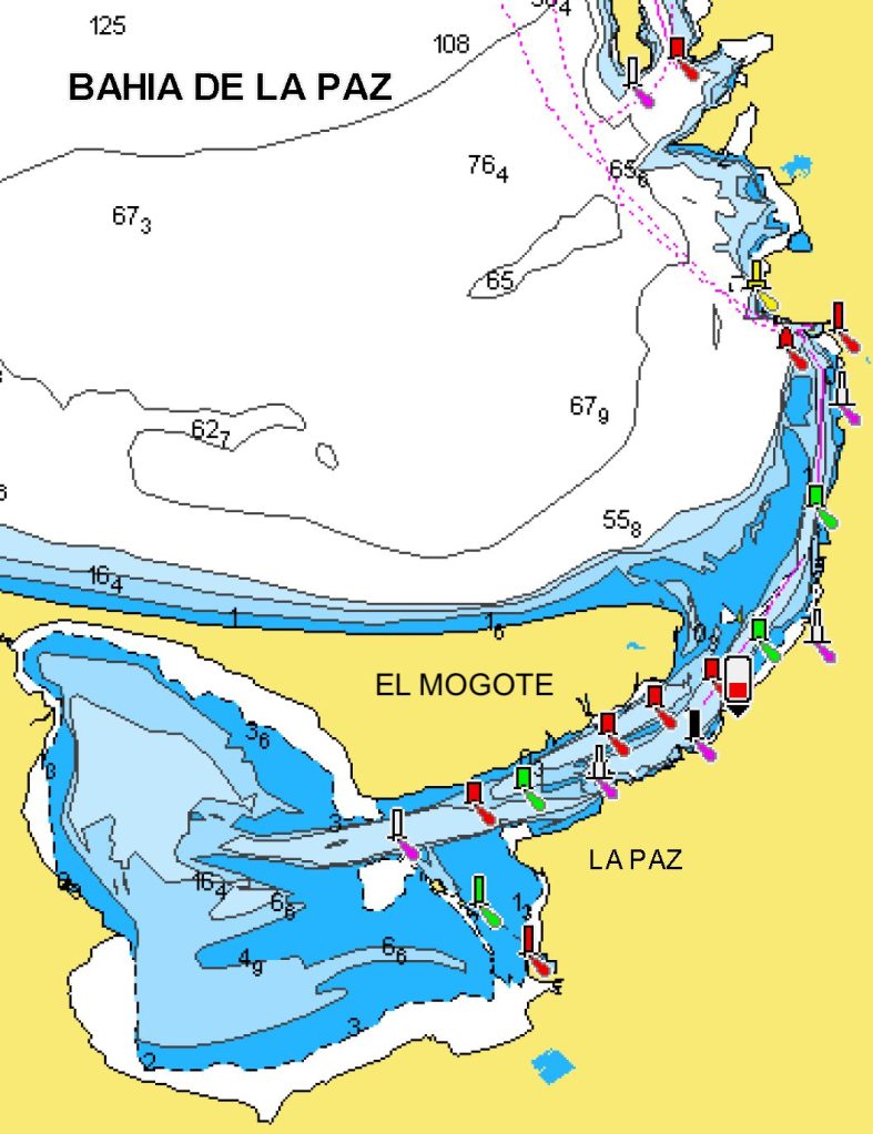
There is one big choice to make in anchoring off La Paz: do you anchor in the main channel nearest the city, or in the north channel on the other side of a dividing submerged sandbar? We entered the anchorage and saw that the main channel looked quite full of boats, so opted to divert into the north channel. The wind was relatively light when we dropped our hook in an ebbing tidal flow, setting the anchor in a space between other boats already anchored there.
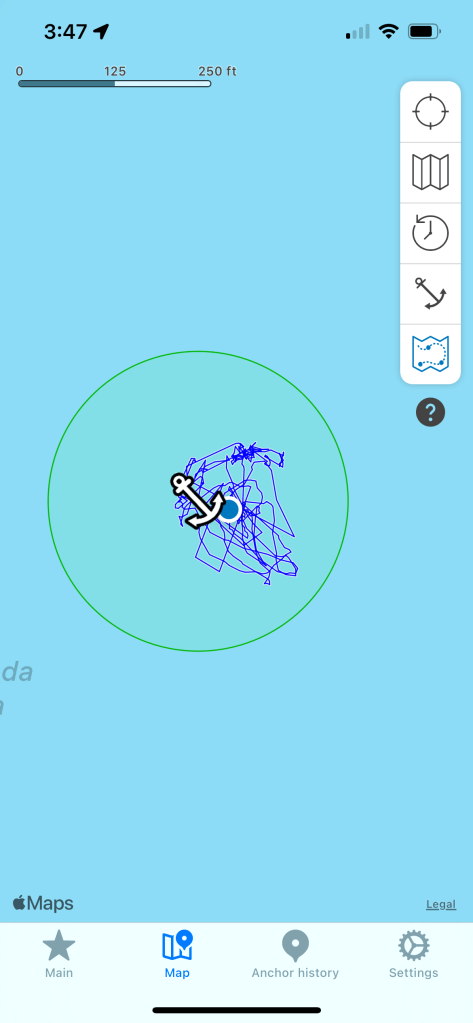
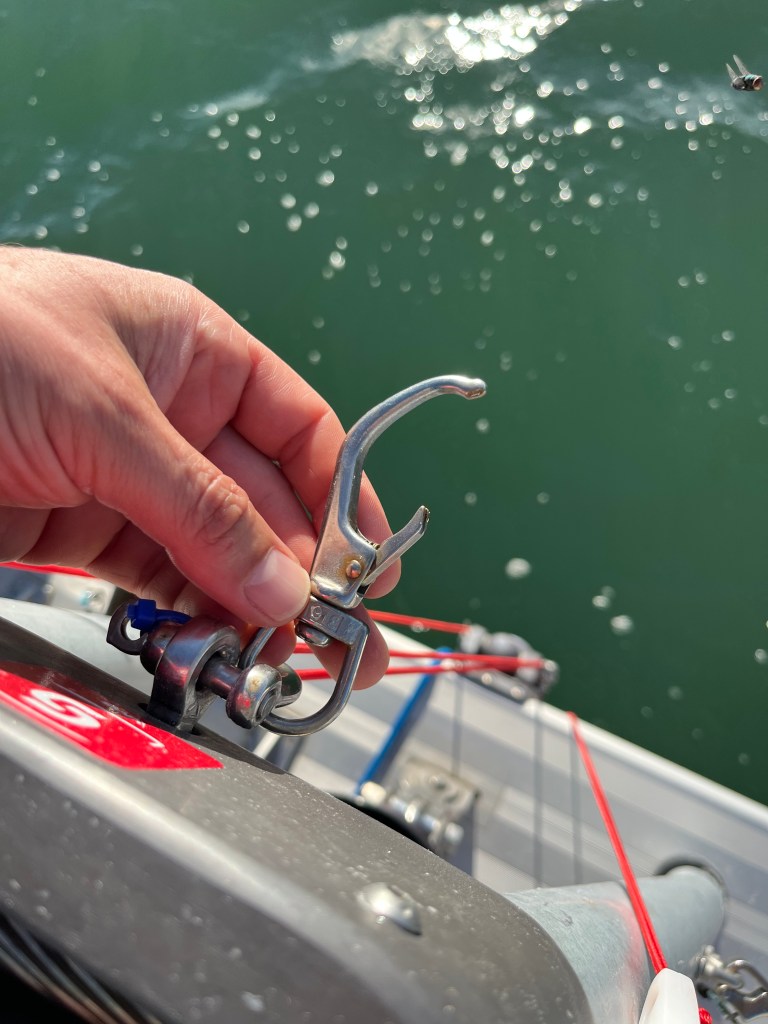
As the wind came up and the tidal cycle reversed, we definitely started doing our own waltz. A screenshot of our anchor alarm history shows this, with the boat riding around all over the place, including above and ahead of the anchor. We would end up in a position where the current aligned the boat away from the wind, but the wind pushed the boat up over the anchor. This pulled the anchor bridle down under the boat, and on Lagoon 42’s like Perception this puts stress on the bowsprit. Earlier in the year I had added a tack line to the bowsprit, and use a little metal shackle to hold this line and the bowsprit up when a sail isn’t attached to it. The pressure in the La Paz anchorage pulled down on the bowsprit so hard that it bent the shackle out nearly straight, and eventually pulled the line off of it.
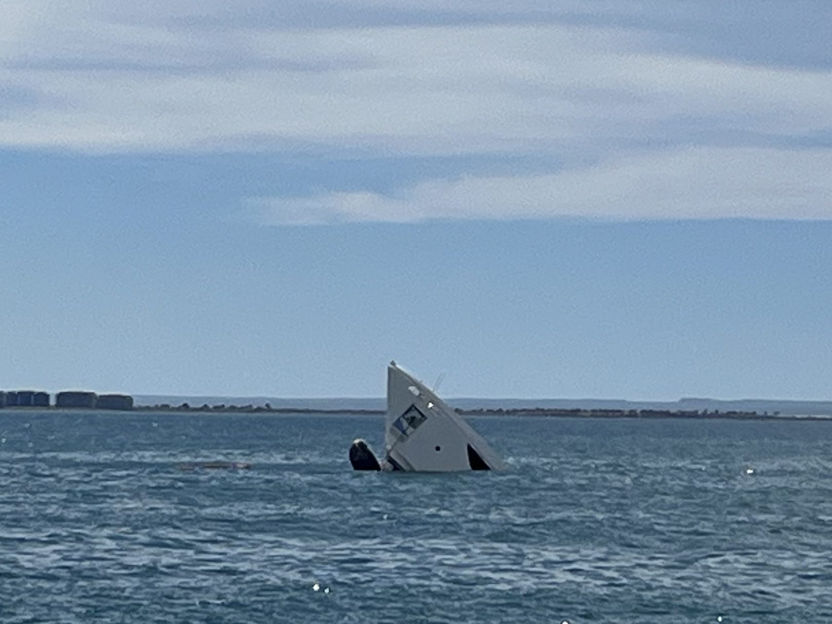
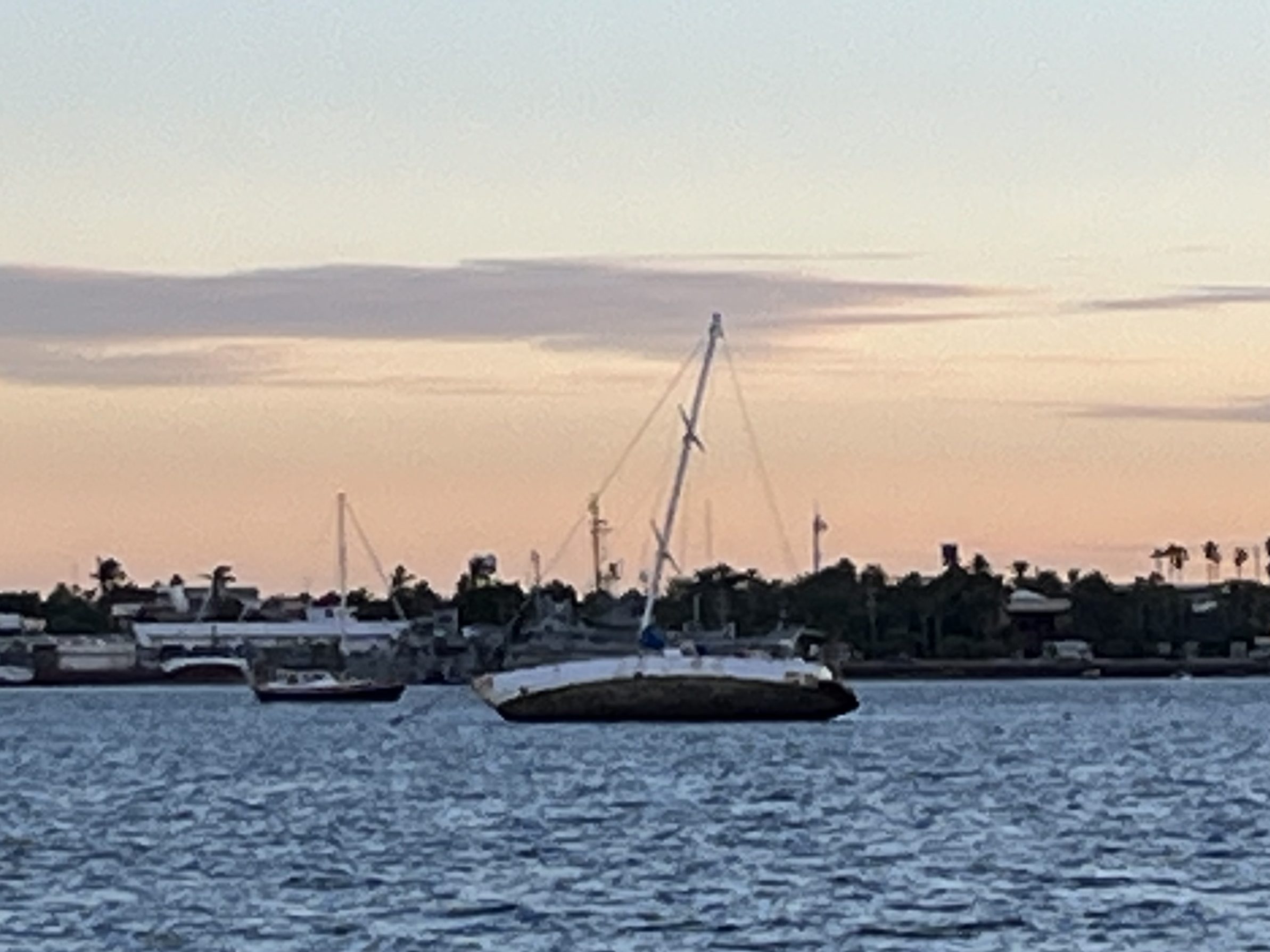
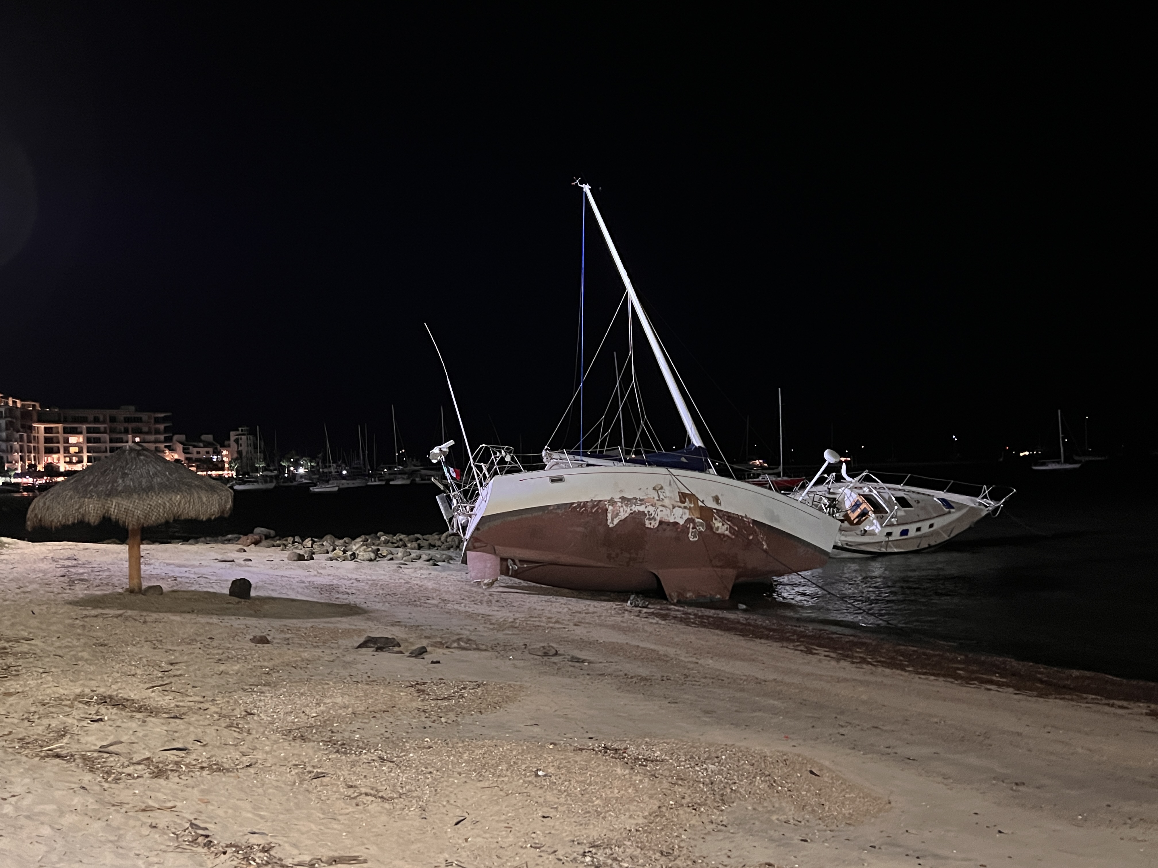
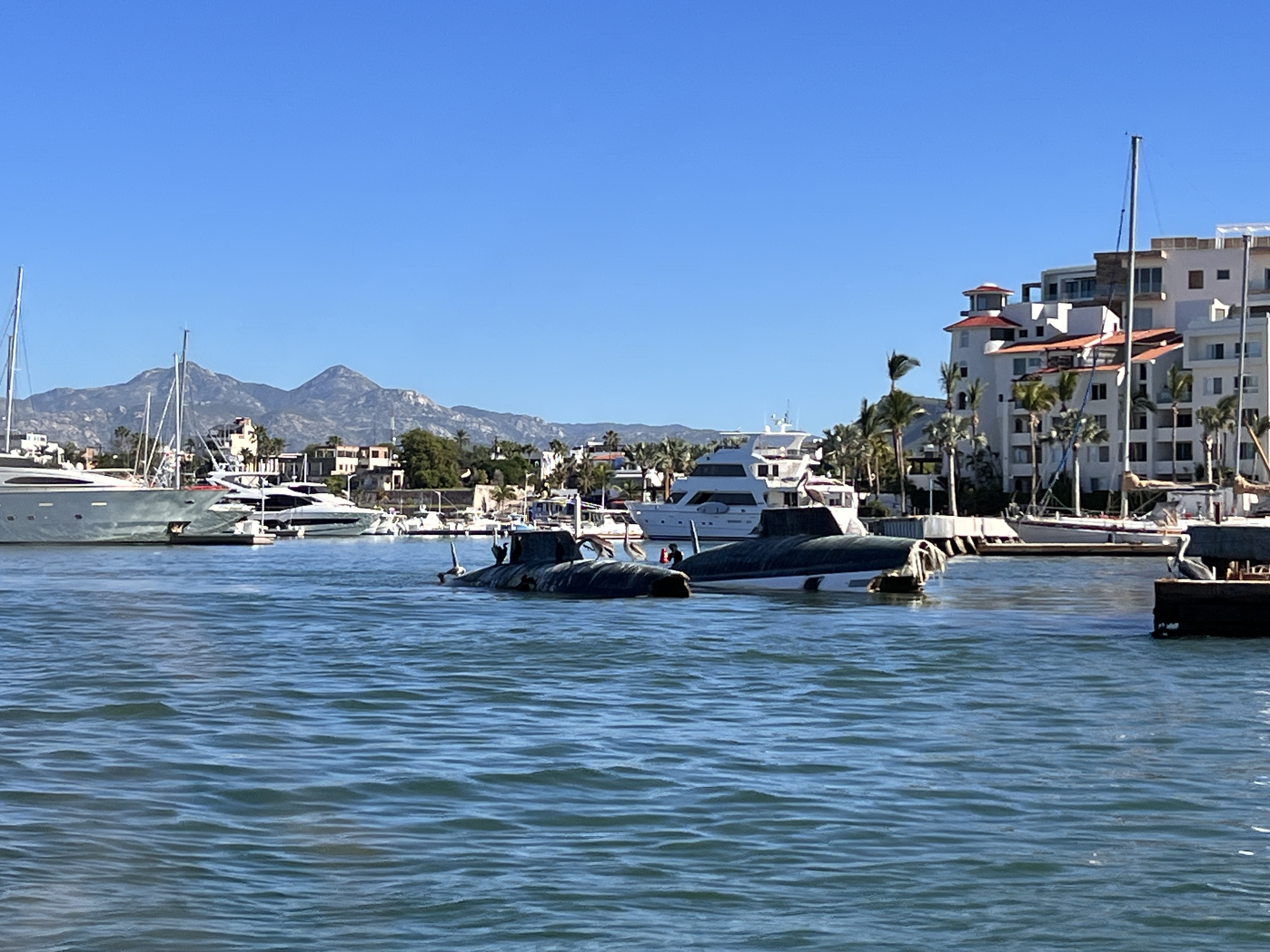
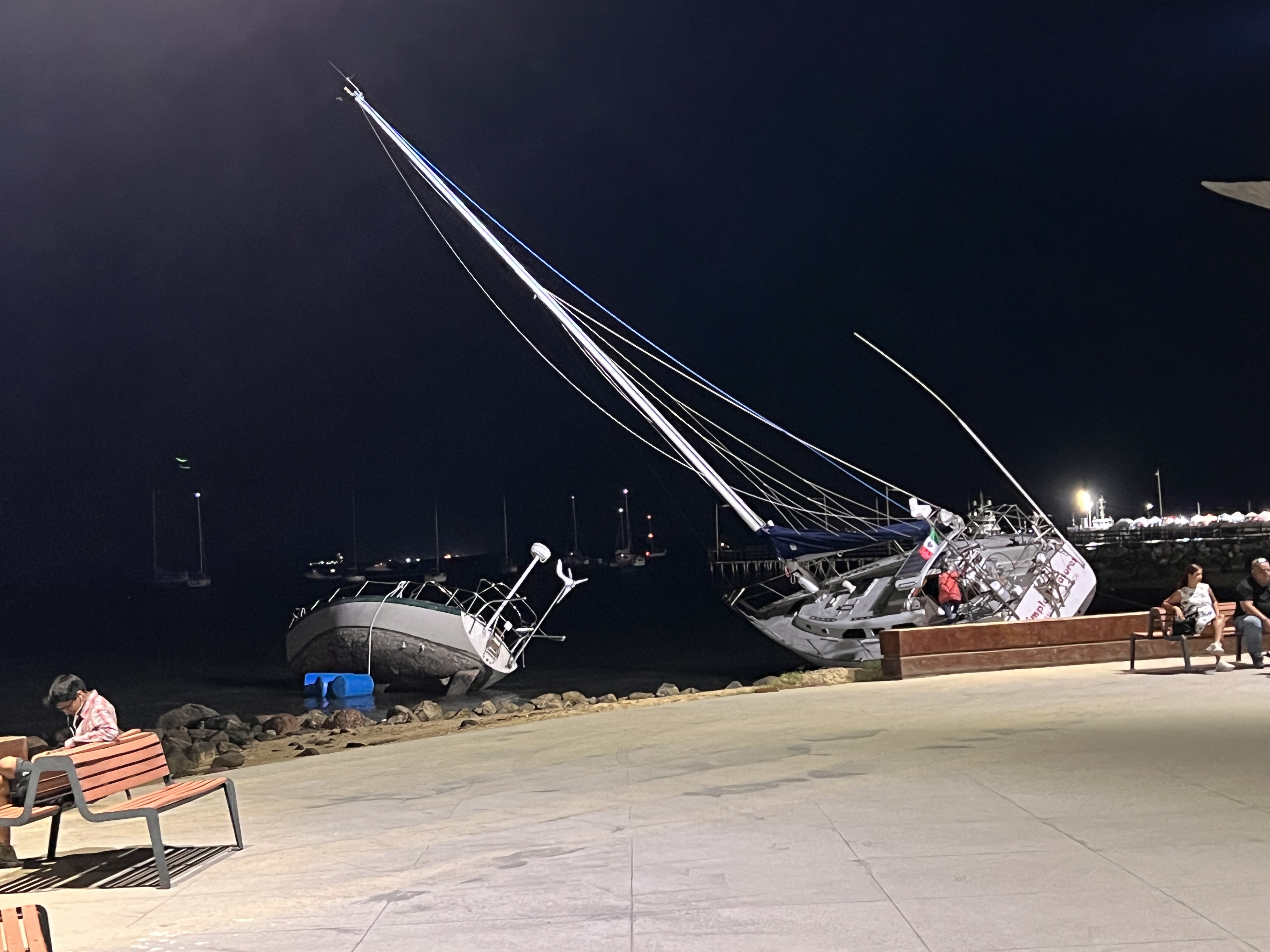
The La Paz area was hit by Hurricane Norma in late October of this year, and we had some concern about what we’d find when we got there. Online, the reports were that the city had largely bounced back, and that as mariners we’d find little difference other than a reduced amount of available dock space (some was destroyed in the hurricane) and the remains of boats wrecked in the storm scattered around.
We found this report to be absolutely accurate on both accounts. We had no chance of securing a slip, and we were immediately greeted by the bow of a 33 meter yacht protruding from the surface near the start of the channel into La Paz. Once in La Paz proper we saw further evidence of the storm – boats partially submerged on the sandbar in the channel, and a number of boats up on the shore along the Malecon.
La Paz typically gets rave reviews from cruisers visiting it. From its cruising community to its restaurants and shops, it has much to offer. Many cruisers have become “stuck” here since they like it so much, mooring their boats permanently and/or finding homes ashore. Unfortunately we didn’t really find the place all that appealing – whining session begins here!
Even though it was relatively cool for La Paz, we were not used to daytime temperatures in the 80-90 degree Fahrenheit range. Our normal route of swimming to cool off on the boat was unavailable. The water sluicing in and out of the lagoon was completely unappealing for swimming, especially as it was still murky from the hurricane. The bugs coming off the mangroves on El Mogote swarmed us when outside in the cockpit – perhaps if we’d anchored in the main channel further from the mangroves this wouldn’t have been a problem? The tidal flow also worked against us in keeping cool, as the boat wouldn’t typically align with the wind to keep air moving through. The crew was hot, covered in bug bites, and generally not happy with the situation.
I also didn’t dare to make water in the anchorage. If it was just “normal” organic murk I wouldn’t have been completely resistant, but we didn’t really know what extra goodness was in the water given the submerged vessels and heavy runoff from the hurricane. We managed to pick up a glob of black tar on the dinghy painter while running to shore, presumably congealed engine oil from a sunken boat. It took a good hour of scrubbing the painter with gasoline to get it to a state where it wouldn’t spread everywhere.
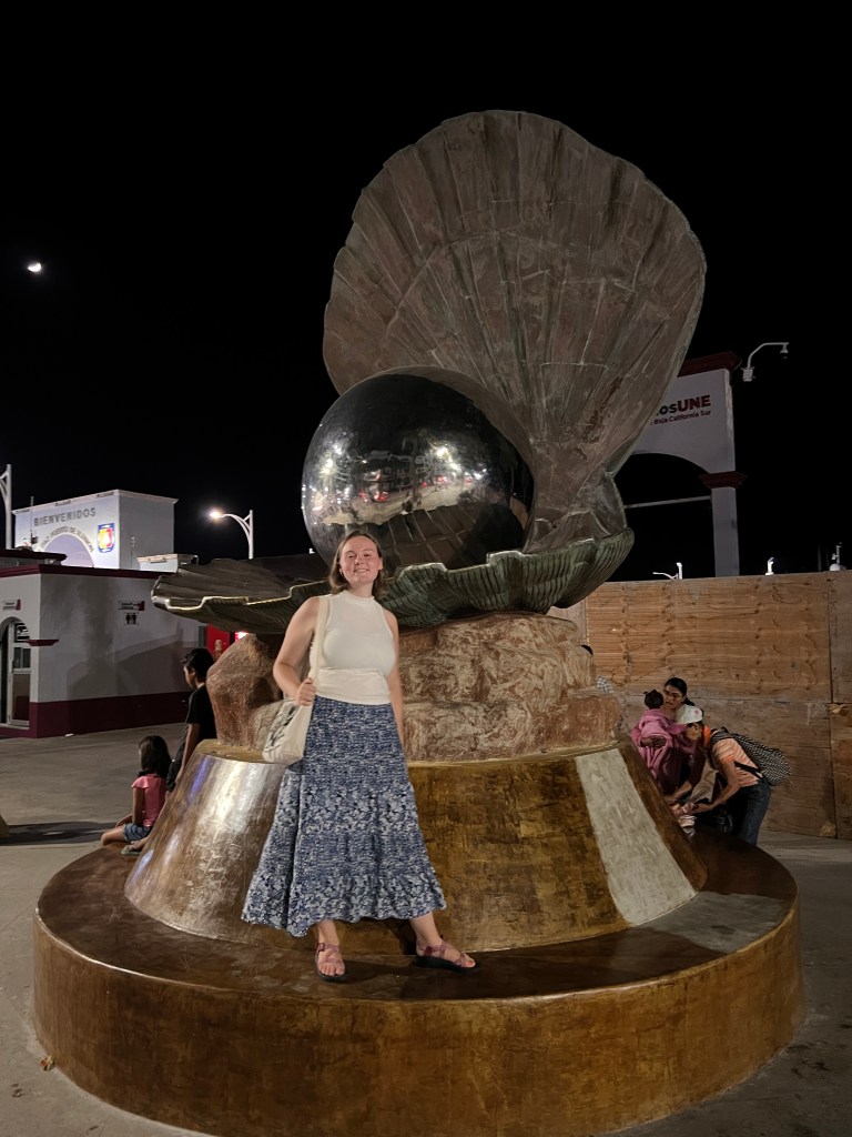
I don’t want to give the impression that it was all bad. Ashore we did enjoy eating at several good restaurants, and were able to reprovision for our next leg of the journey. We enjoyed the walk along the Malecon, which was a nicely paved walkway with fantastical statuary at regular intervals. We also had opportunity to catch up with our friends on Merlin and Walden, and hosted a little party on Perception while there.
In general we were hot, salty, low on water, and ready to move on after a few days. We are all glad we took the time to see La Paz, but looked forward to getting up to Puerto Escondido to clean up Perception. Sunday morning we bid “adios” to La Paz and moved north once again.

One response to “November 12 – 18, 2023: Beating north into the Sea of Cortez”
Jim I’m really enjoying this blog, thanks for taking the time to share your family’s adventures. I’m definitely living vicariously through your descriptions, including the less-than-ideal parts…hang tough!
Fair winds!
LikeLike