
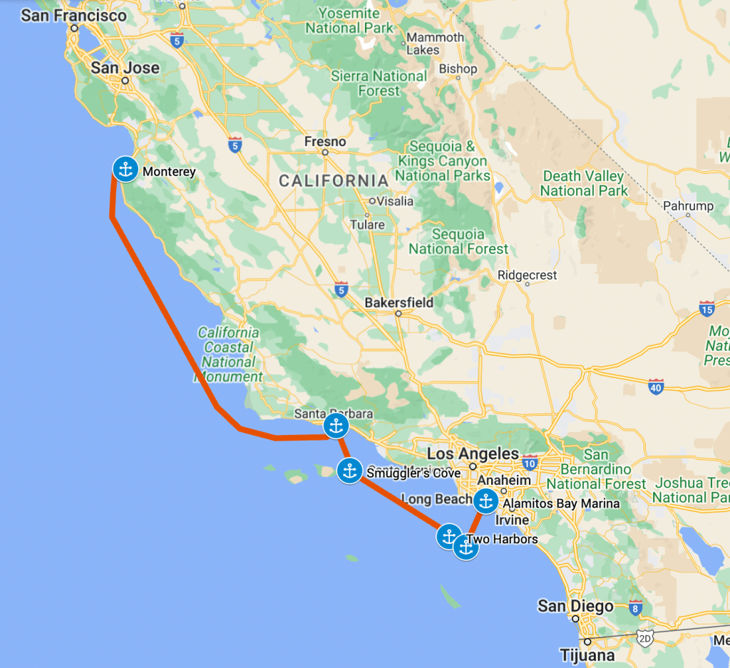
After a pleasant stay in Monterey, it was time to keep moving down the coast. We planned to get down to Santa Barbara in one hop, so had an overnight sail ahead to cover the 210 nautical mile stretch. We cast off from our slip and made for the fuel dock as soon as it opened as we wanted to top off the tanks before heading out.
As we left the fuel dock we noticed a Coast Guard crew busy about their launch. The skipper called over to us jovially “are you headed to Mexico?” We replied yes, and wished them well. We exited the harbor, Melinda took over the helm and pointed us out toward the Pacific. I settled into my first morning meeting over zoom.
About ten minutes later I heard something pound the water behind us, and at the same time saw an orange flash cross our stern. Our friendly skipper from the Coast Guard launch was now off our port side asking us to slow down for boarding. We complied, and a couple of very young crewmen came aboard for a safety inspection.
They had a fairly extensive checklist, wanting to see that we had our PFDs (bonus points since we were wearing them!), and that we had our flares, discharge placards, fire extinguishers, and other safety devices. They asked to see our copy of collision regulations, and I’d luckily seen it on the bookshelf just a couple days before. They also checked our bilges for water (not sinking??) and our engine compartments (ours are pretty clean and tidy). We passed all their tests, and they let us go on our way.
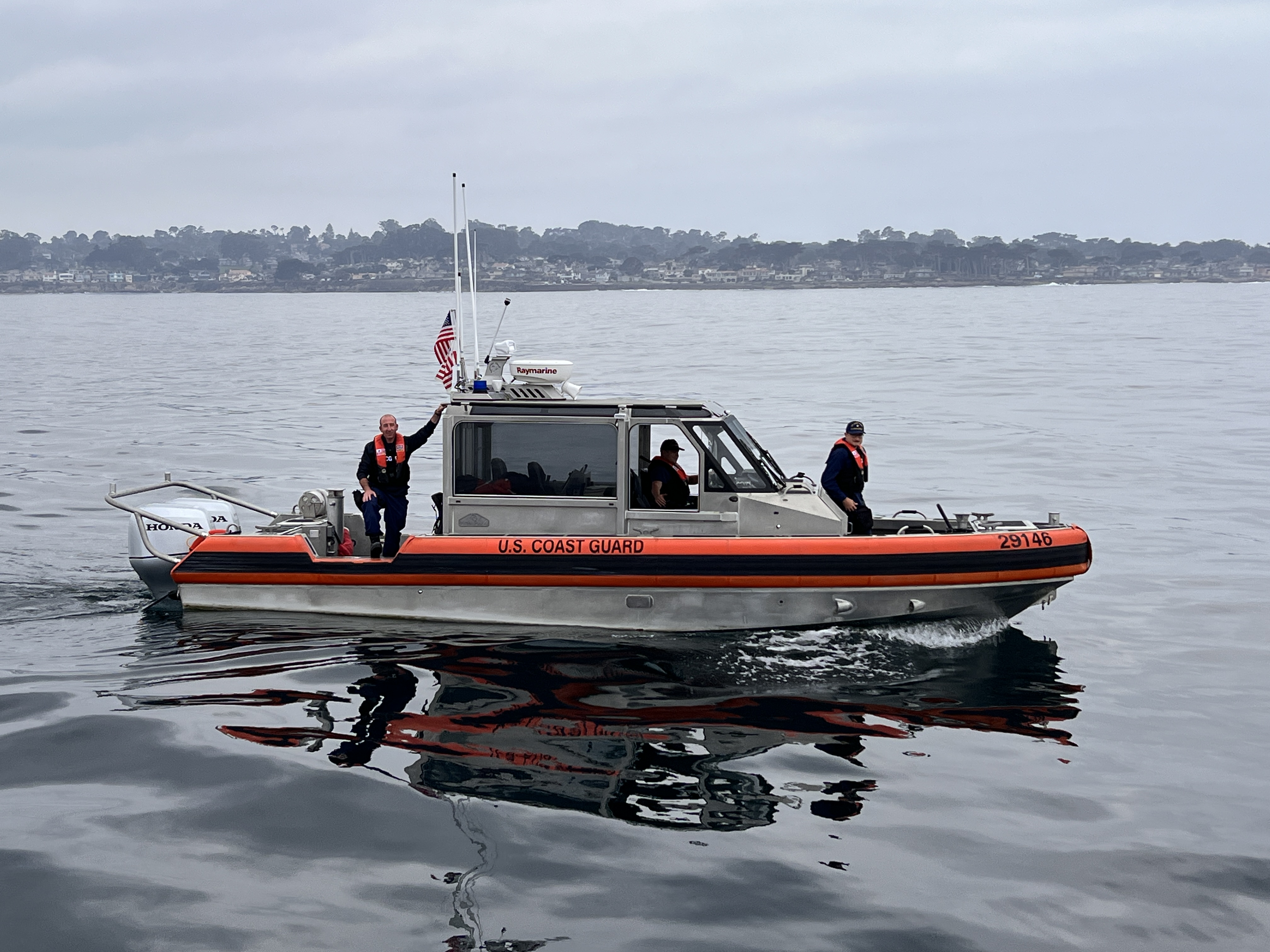
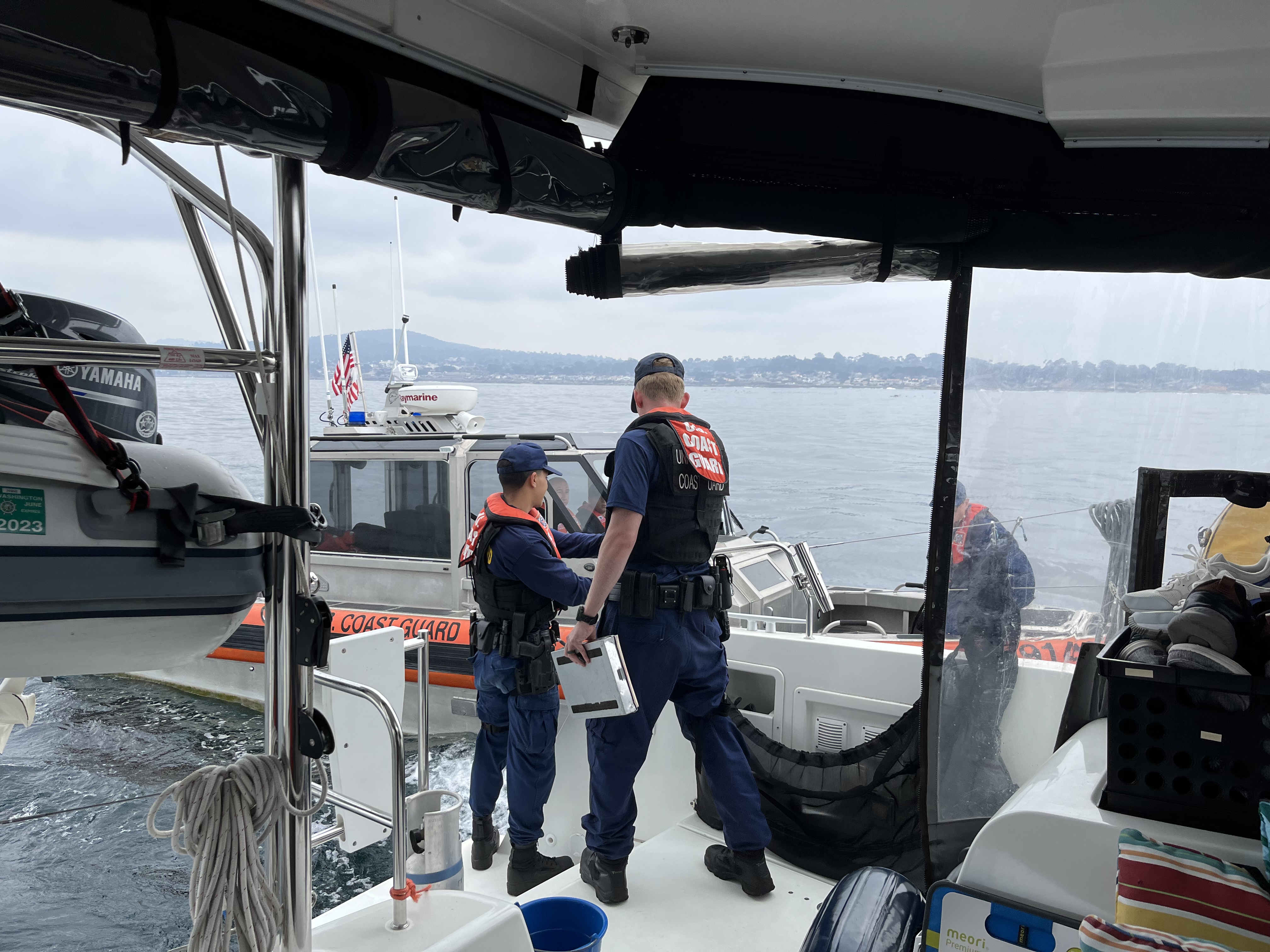
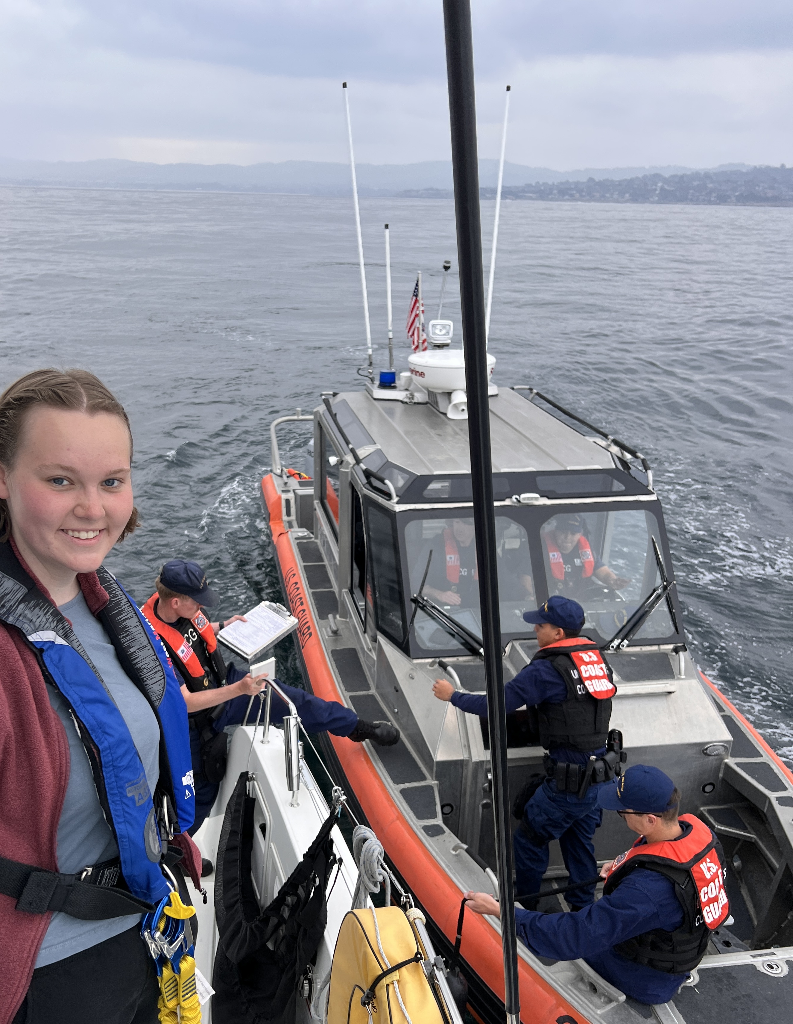
The whole process was friendly and very professional, but in hindsight it makes you think a bit about your rights on the water. The 4th amendment doesn’t apply in navigable waters, and the Coast Guard doesn’t need to have probable cause to stop and board your vessel. It was a bit unnerving to have young men with pistols on board poking into the dark corners of the boat, but was also comforting to know they are protecting our borders and boater safety.
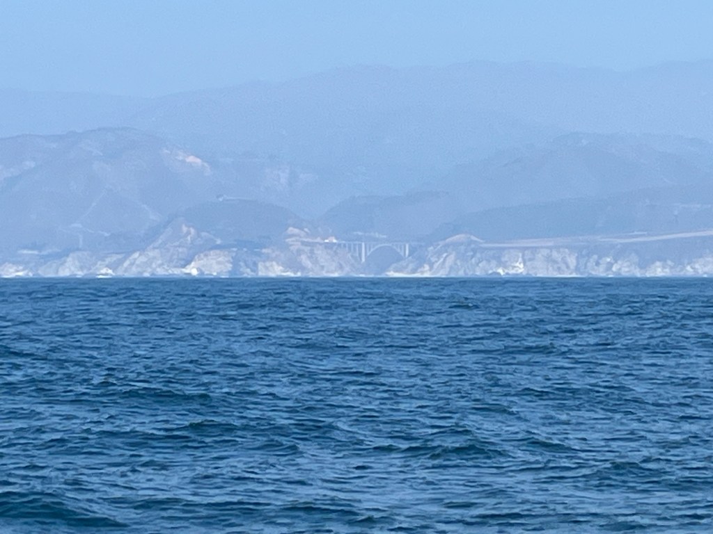
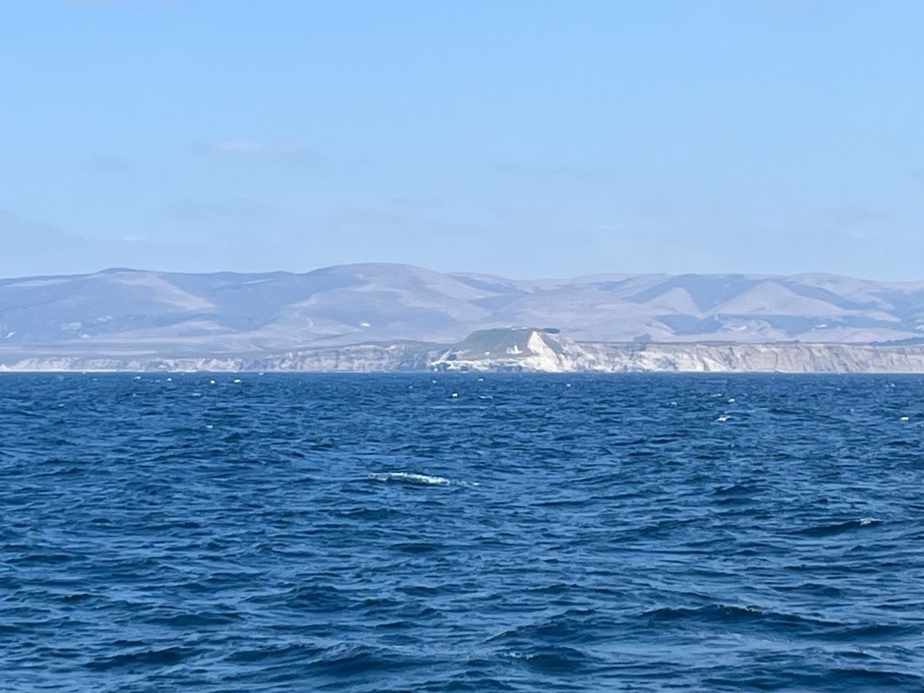
As we passed on down the coast we started seeing the familiar features of Big Sur in the distance. The iconic Rocky Creek Bridge was a bit distant but still visible on the shore. As we passed Point Sur, the coast fell away from us and was lost to sight. We were again on the ocean with water all around.
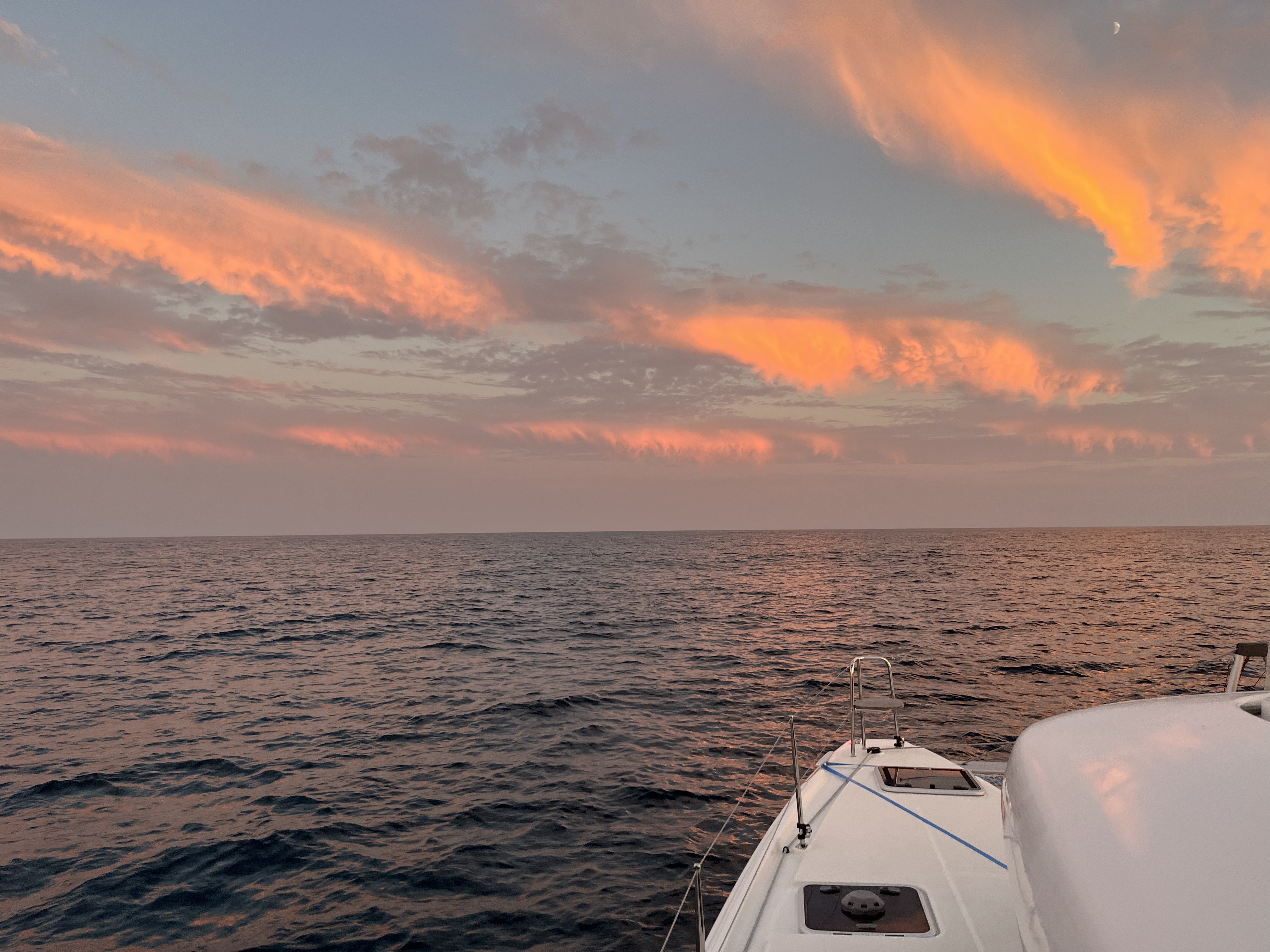
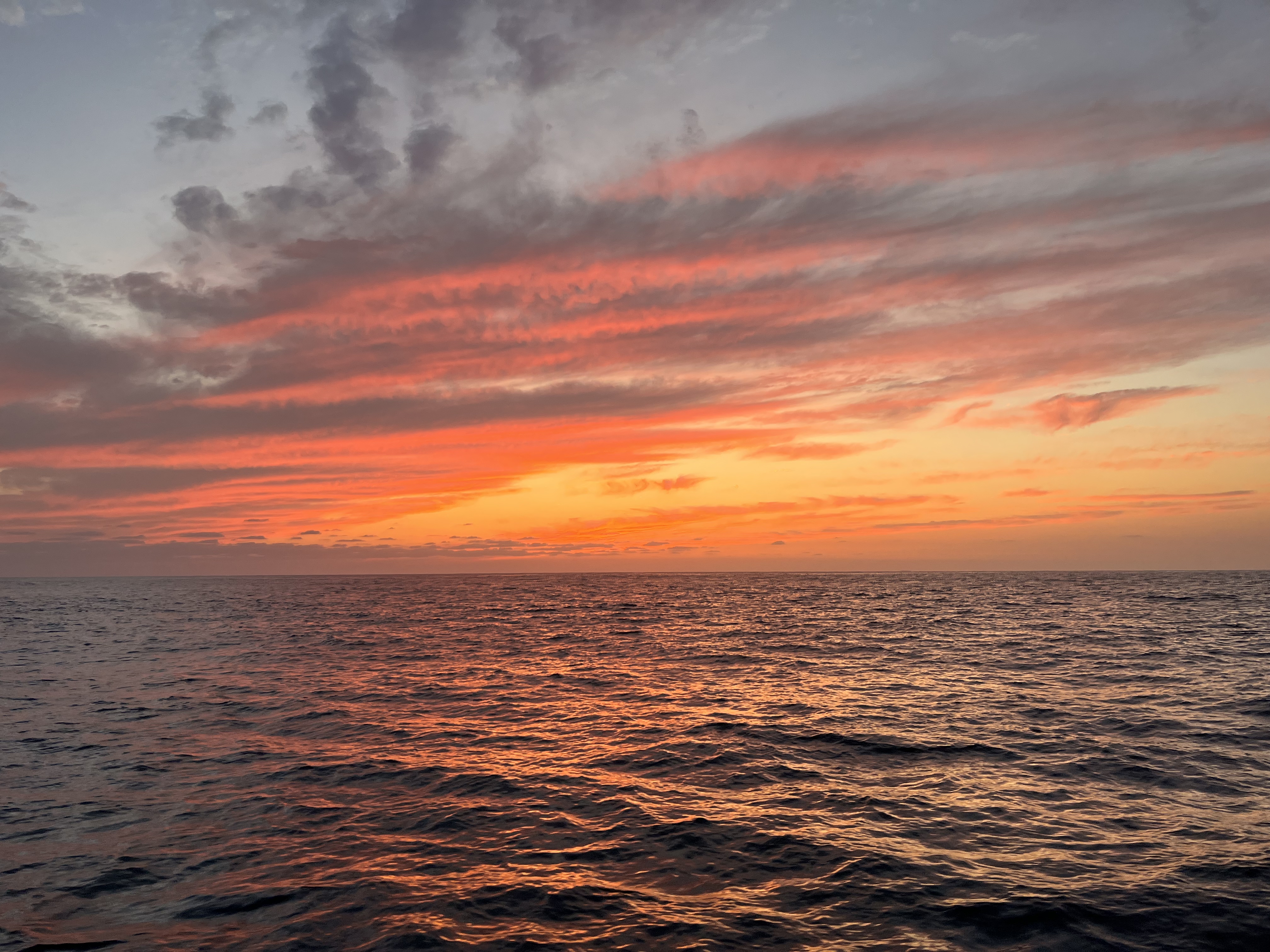
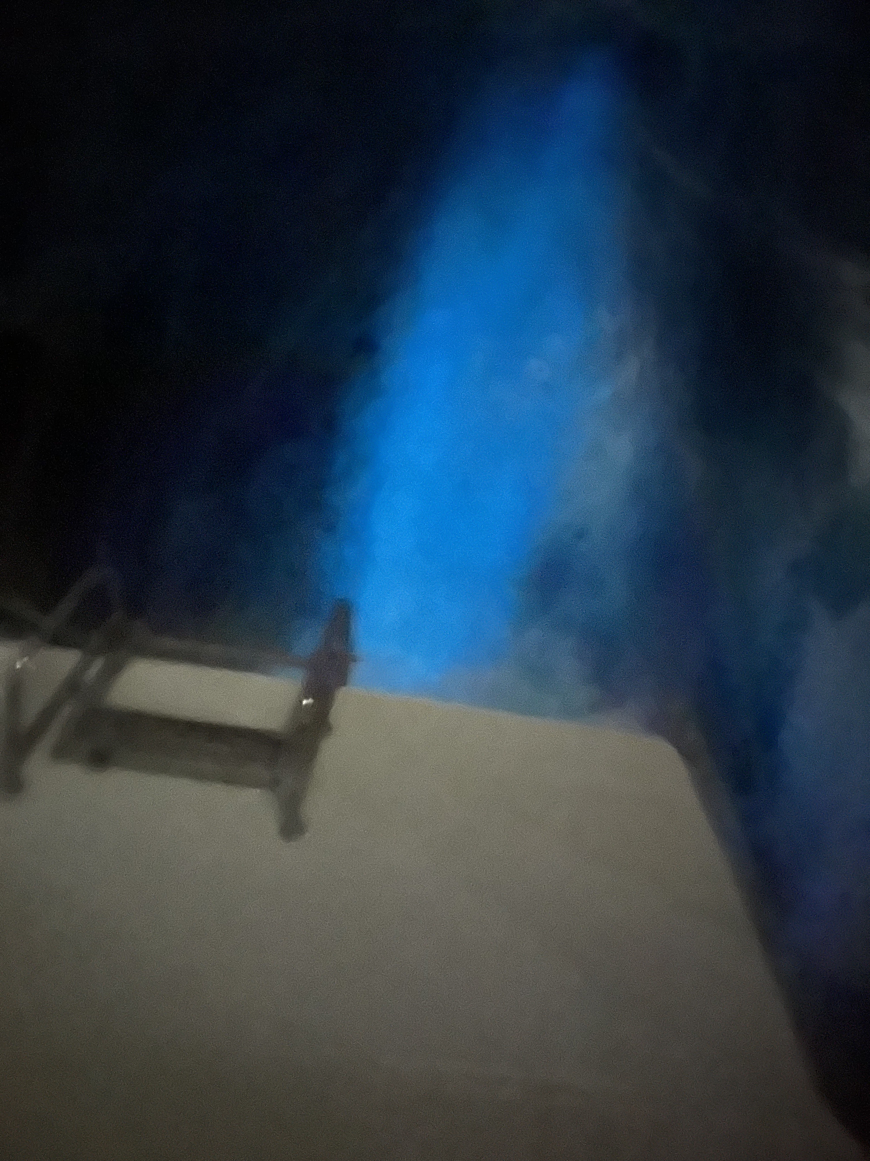
Sunset that evening was spectacular as it often is out on the water. The clouds were lit up from below by the setting sun in shades of red and orange. As night fell, we began our watches at the helm while the others slept. During my watch I noticed that in the darkness I could see bioluminescence in the water. With the naked eye it had a just noticeable blue tinge. My iPhone camera did a better job at picking it up with a longer exposure – the picture below shows it activated by our starboard propellor.
Saturday morning found us approaching Point Conception. This was yet another big “C” Cape to pass around, being described as the “Cape Horn of the Pacific” in some online material. Apparently the weather and wind acceleration can be quite dramatic here at times, and I wanted to give it a wide berth to avoid as much of this as possible. We found that we’d picked relatively benign conditions to pass this point, and sailed on by without drama.
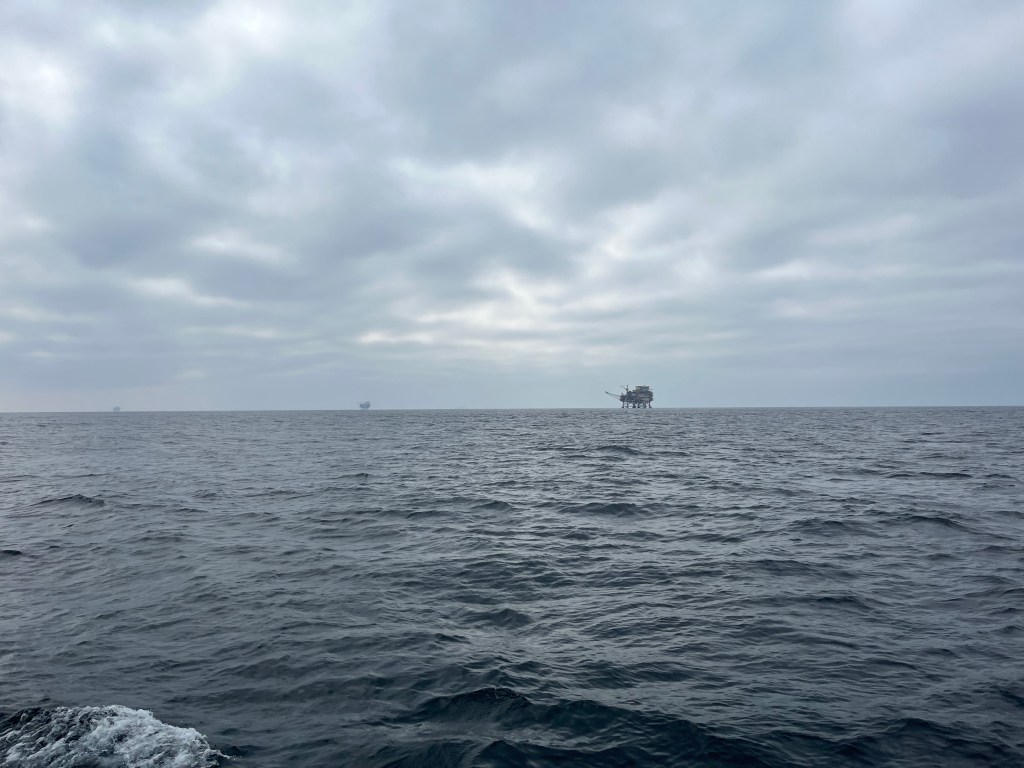
The more significant impact to our course was brought on by the presence of offshore oil platforms. We’d not encountered these behemoths in our prior travels. I noted on the charts that they had a 500 meter keep-out zone around them. No problem, we wouldn’t be going anywhere near that close. Our course had us passing by just inside a nautical mile from two of the platforms. As we approached this distance from the second – the “Harvest” platform – the operator called out to us on VHF. He alerted us that there was a 1 nautical mile keep-out zone around this platform, and wanted to make sure we were aware. I thanked him and altered course to stay outside this distance.
It’s still a mystery to me why there was a larger keep-out around this particular platform. The charts and referenced regulations all refer to just a 500 meter zone. I should have asked the operator for more info, but was startled enough by the call that I just complied.
Somewhat humorously, another Coho vessel (unnamed to protect the guilty) was following us several nautical miles back, and we heard the platform repeatedly try and fail to connect with them on VHF-16, which they should have been monitoring. Presumably they violated the 1 nautical mile keep-out without ever learning of their transgression.
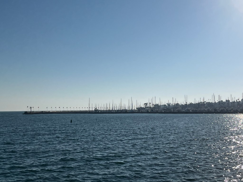
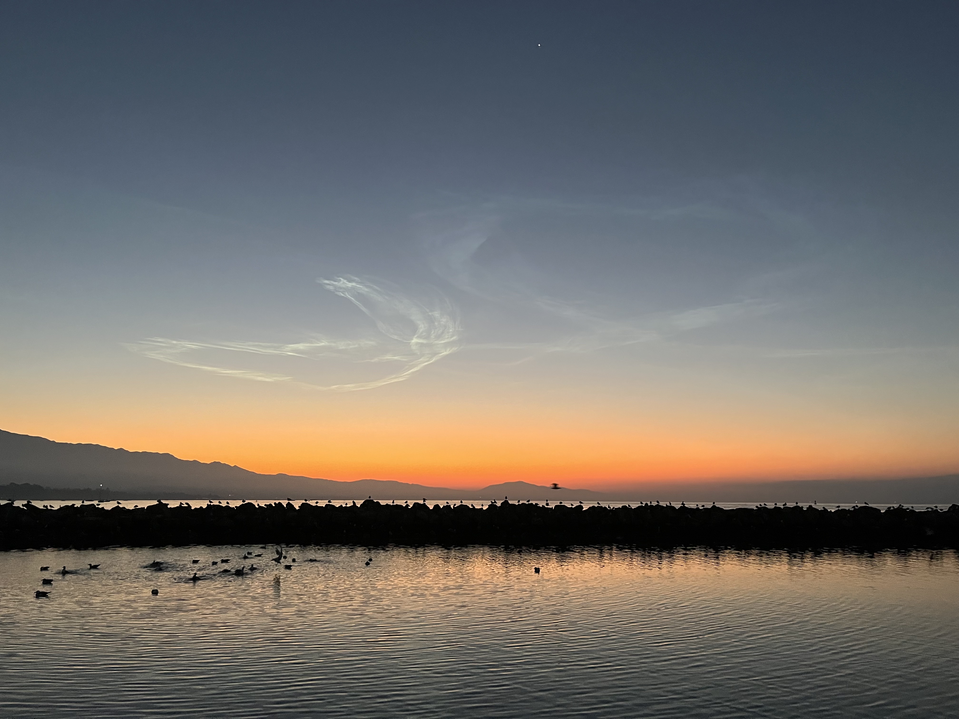
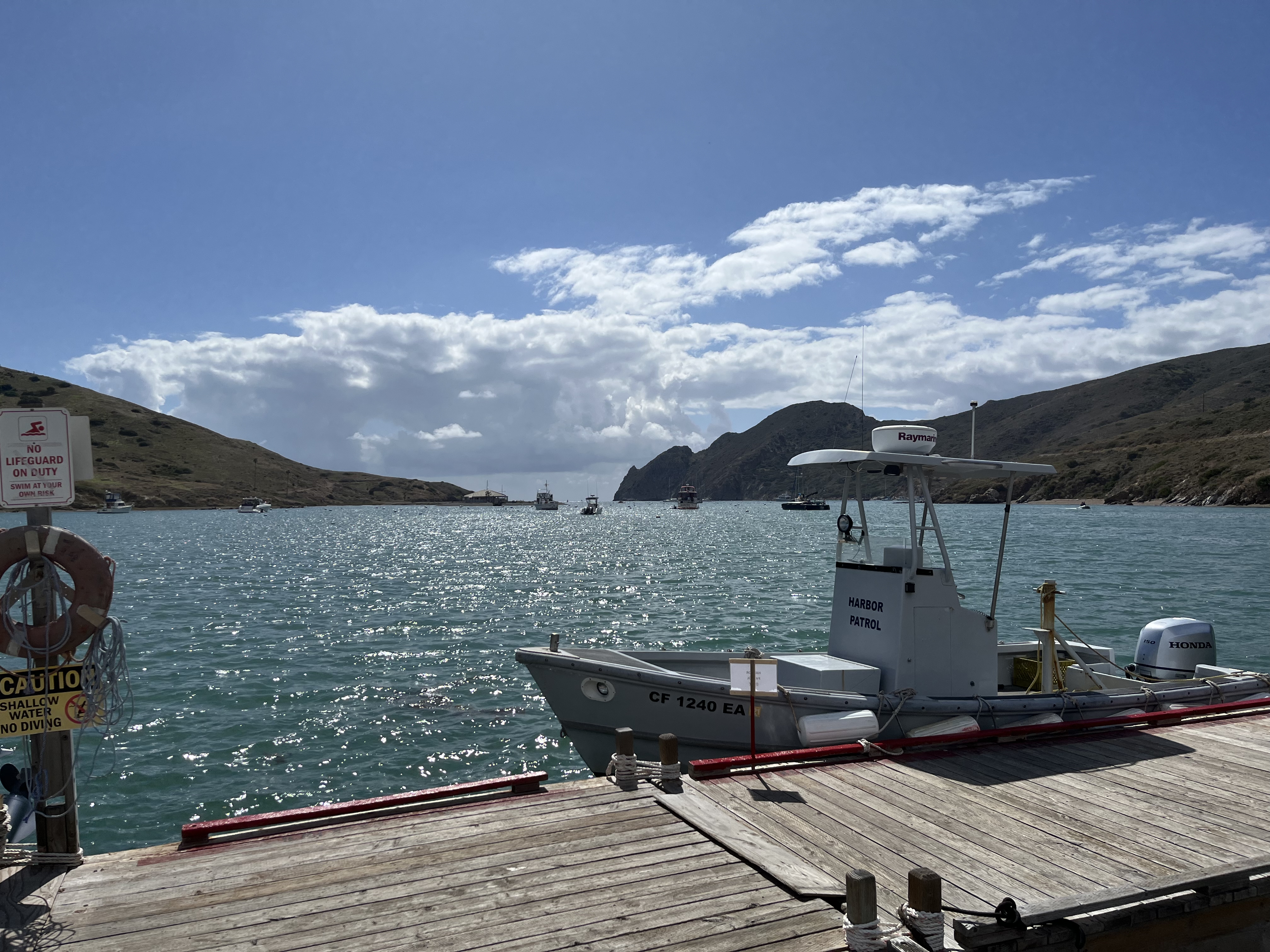
We’d hoped again to get into a slip at Santa Barbara Harbor, which was once again a no-reservation, first-come-first-served marina. We were lucky once again to get a slip on a Saturday evening. The harbor had the interesting policy of wanting you to sail in to the harbor patrol dock before getting a slip assignment. Extra docking practice for all! The harbor patrol was off having dinner when we arrived, so we waited for them to return before we could settle in for the evening.
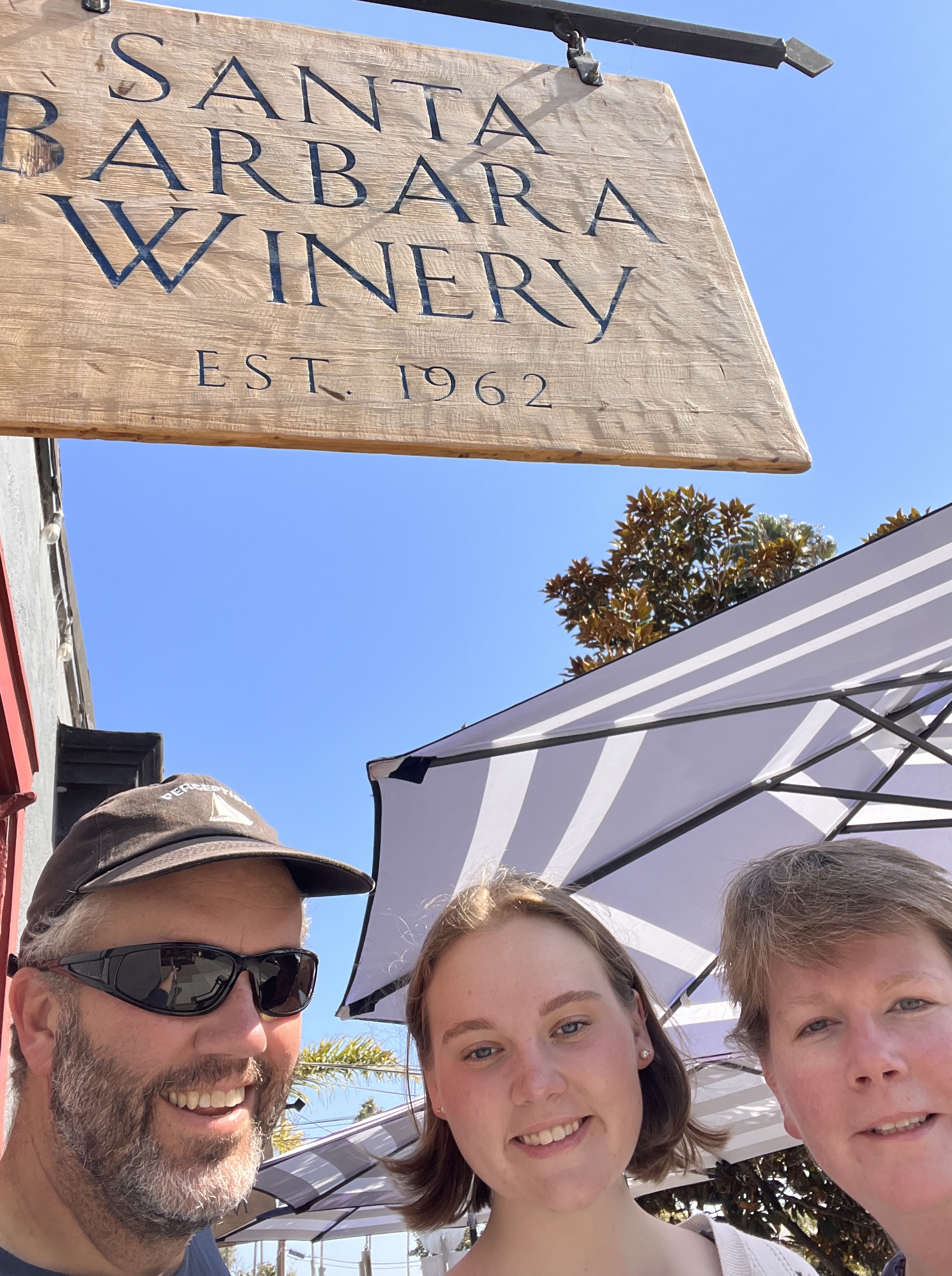
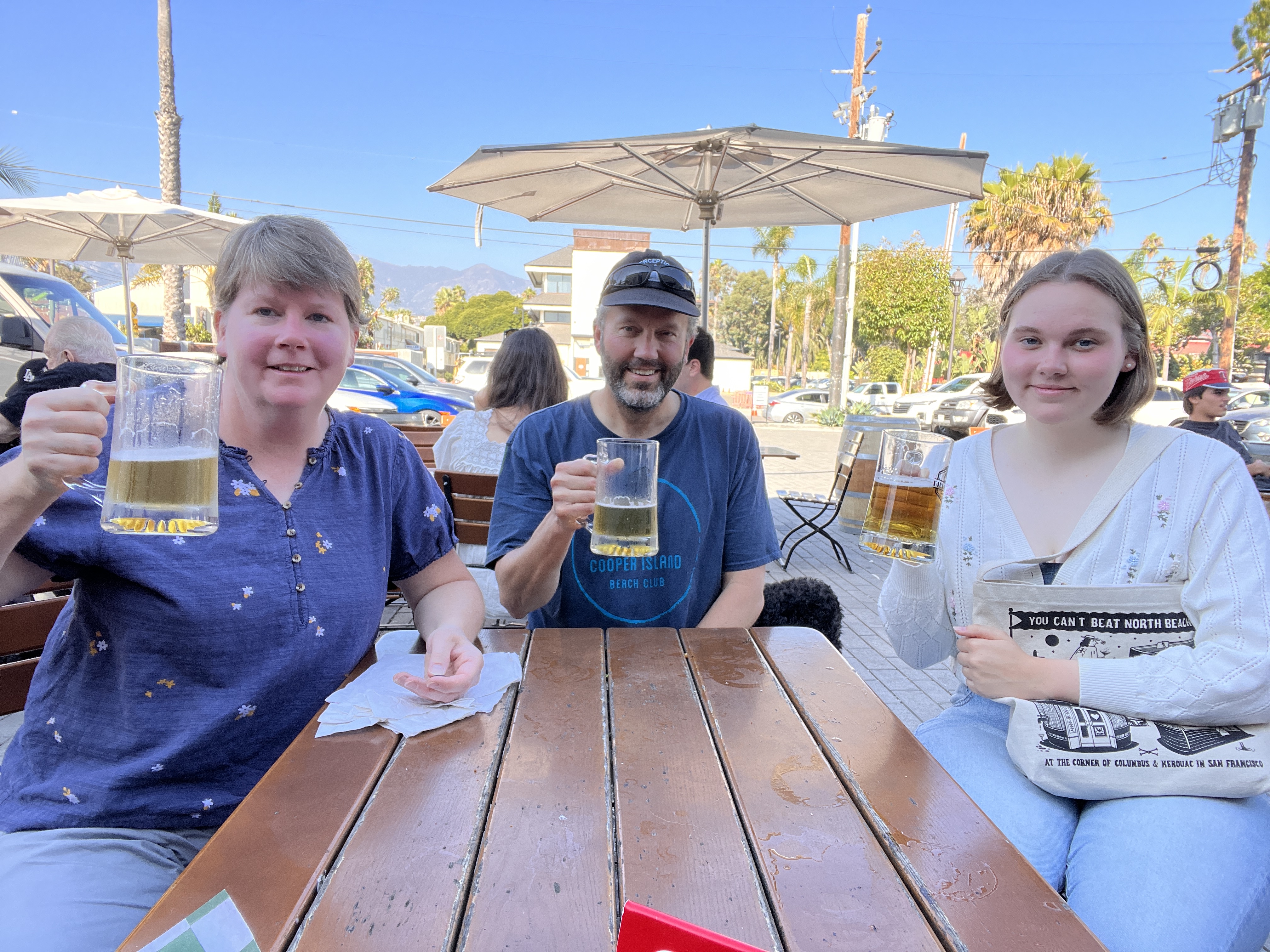
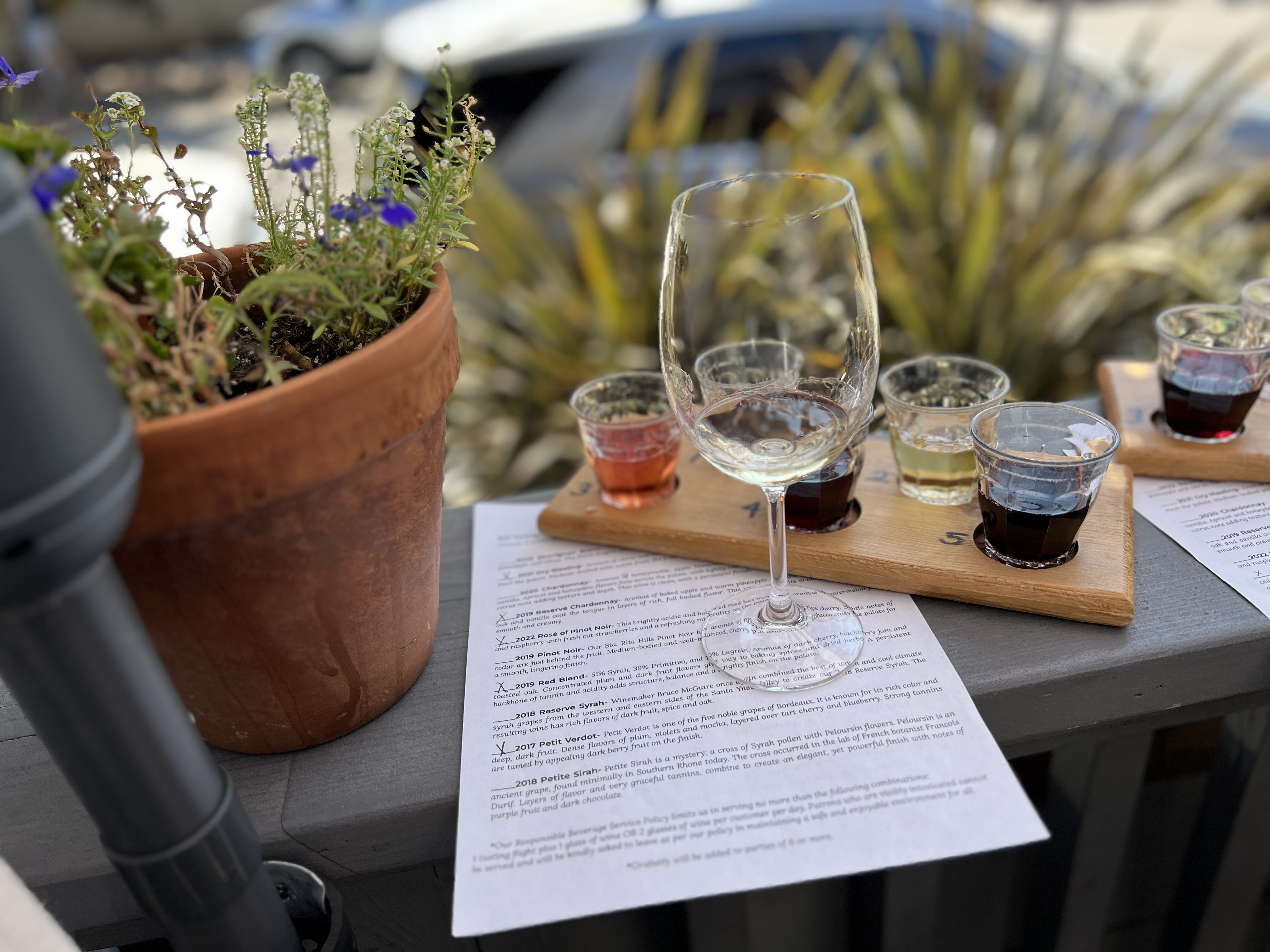
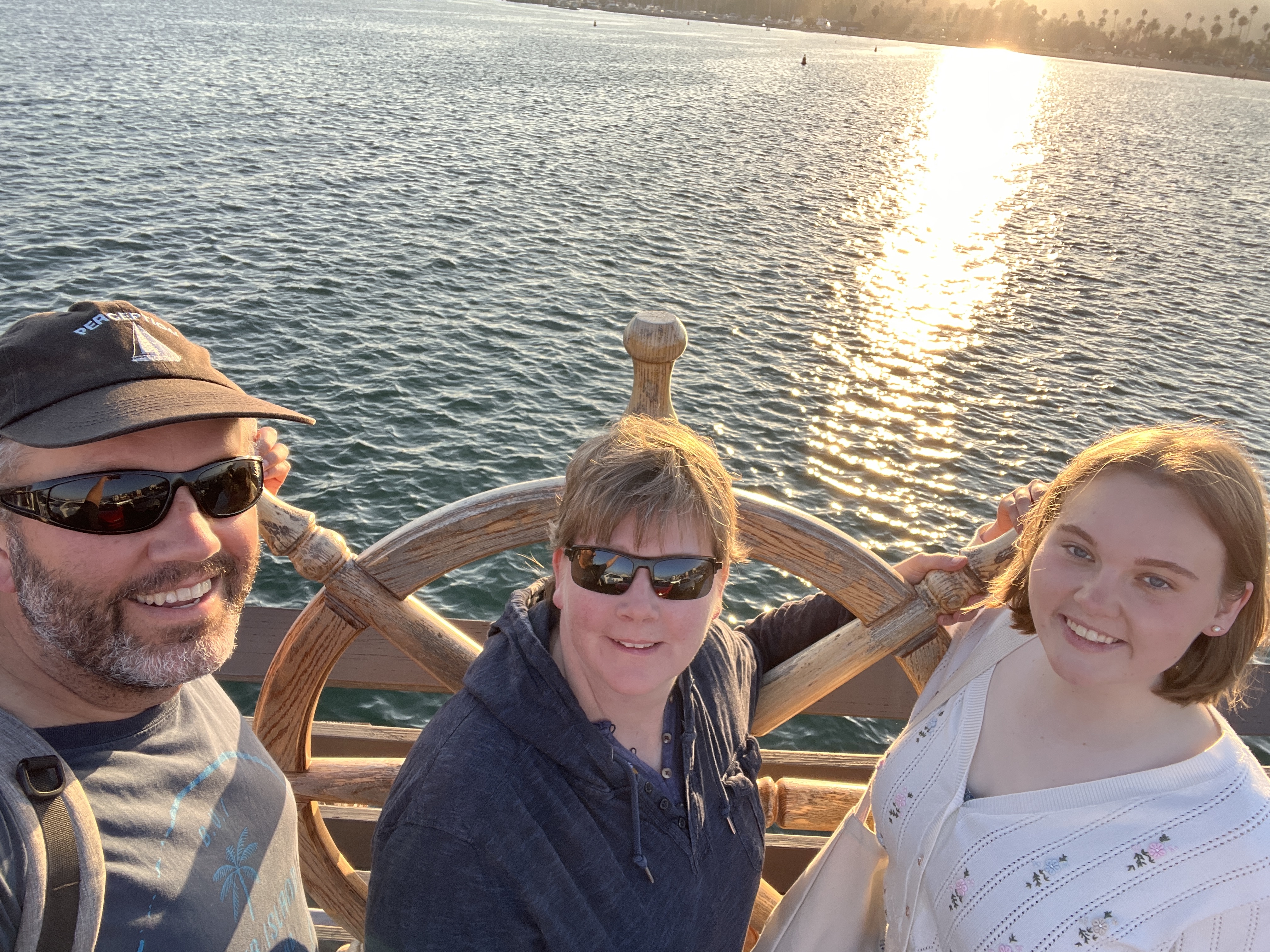
We spent Sunday touring some of the town that was within walking distance. We went to a winery’s tasting room, a German pub, and walked along the Santa Barbara Pier. We settled in for an early dinner on the Pier at the Santa Barbara Shellfish Company.
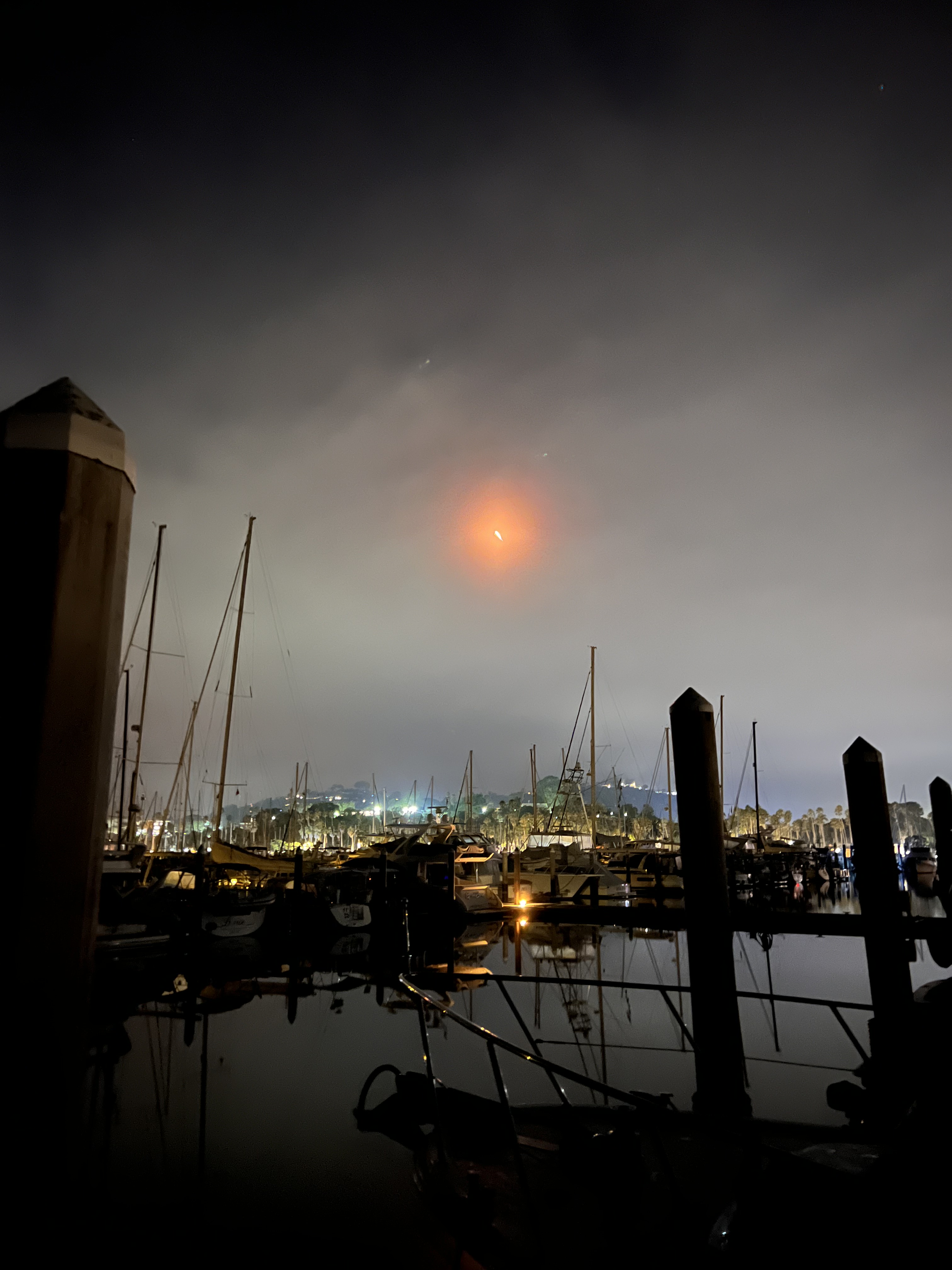
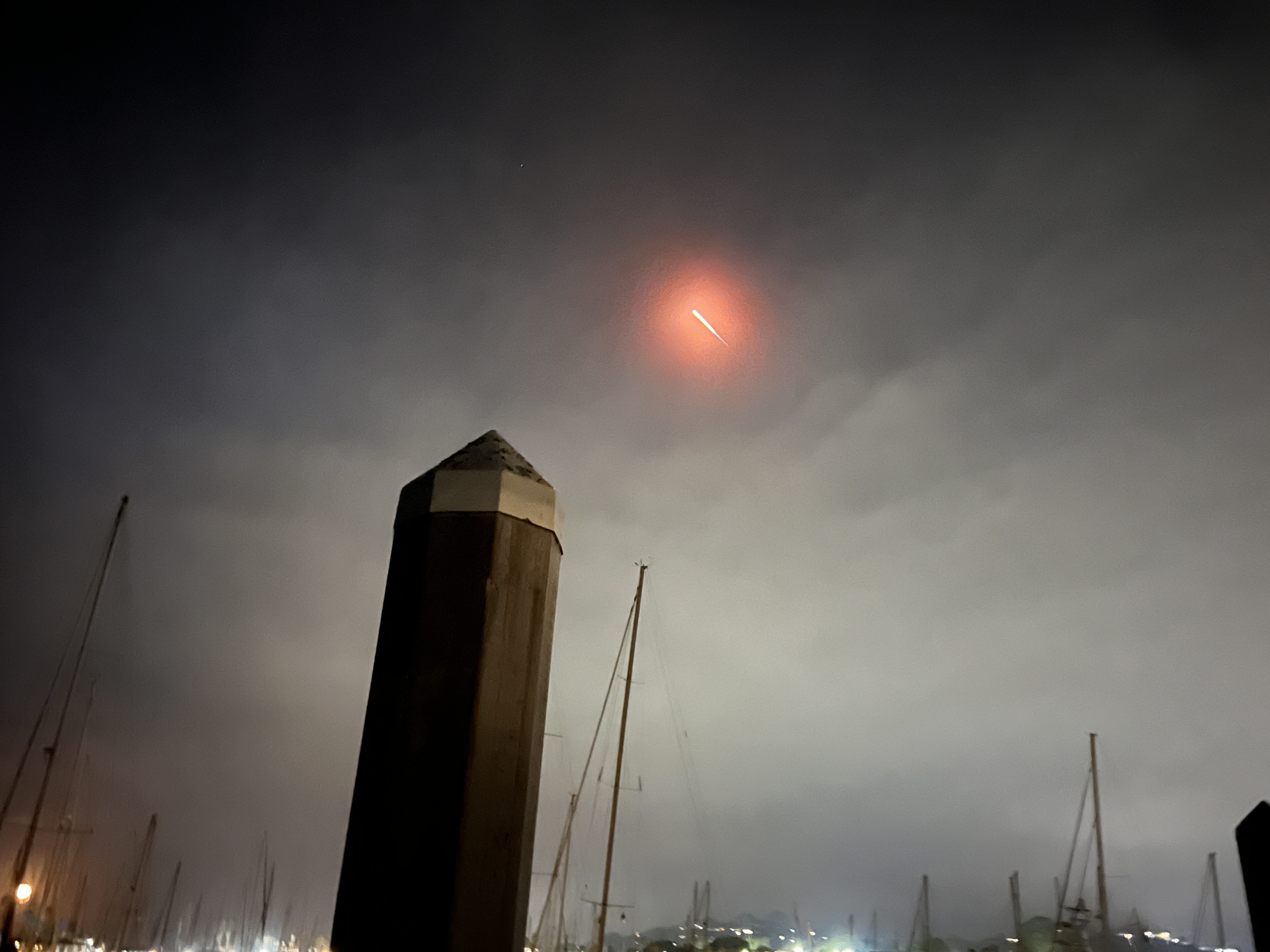
While in Santa Barbara we were also treated to a SpaceX rocket launch from Vandenberg Air Force Base. Even though it was 50 miles away, we could still hear the roar and rumble of the rocket engines. Waking up in the pre-dawn light, you could still see the spent fuel in the upper atmosphere as it glided eastward over California.
We ended up staying in Santa Barbara until Wednesday morning, with the crew provisioning and shopping in the city while the skipper worked his day job.
Wednesday morning we headed out to Santa Cruz Island, one of the northern Channel Islands just offshore from Santa Barbara. We tucked around the eastern end of the island and dropped our anchor in Smuggler’s Cove – a name that seems pretty popular up and down the coast. There really aren’t any protected anchorages in the northern Channel Islands, just wide bays with sandy bottoms. You pick a bay that’s on the leeward side of the island to be as much out of the wind and waves as possible.
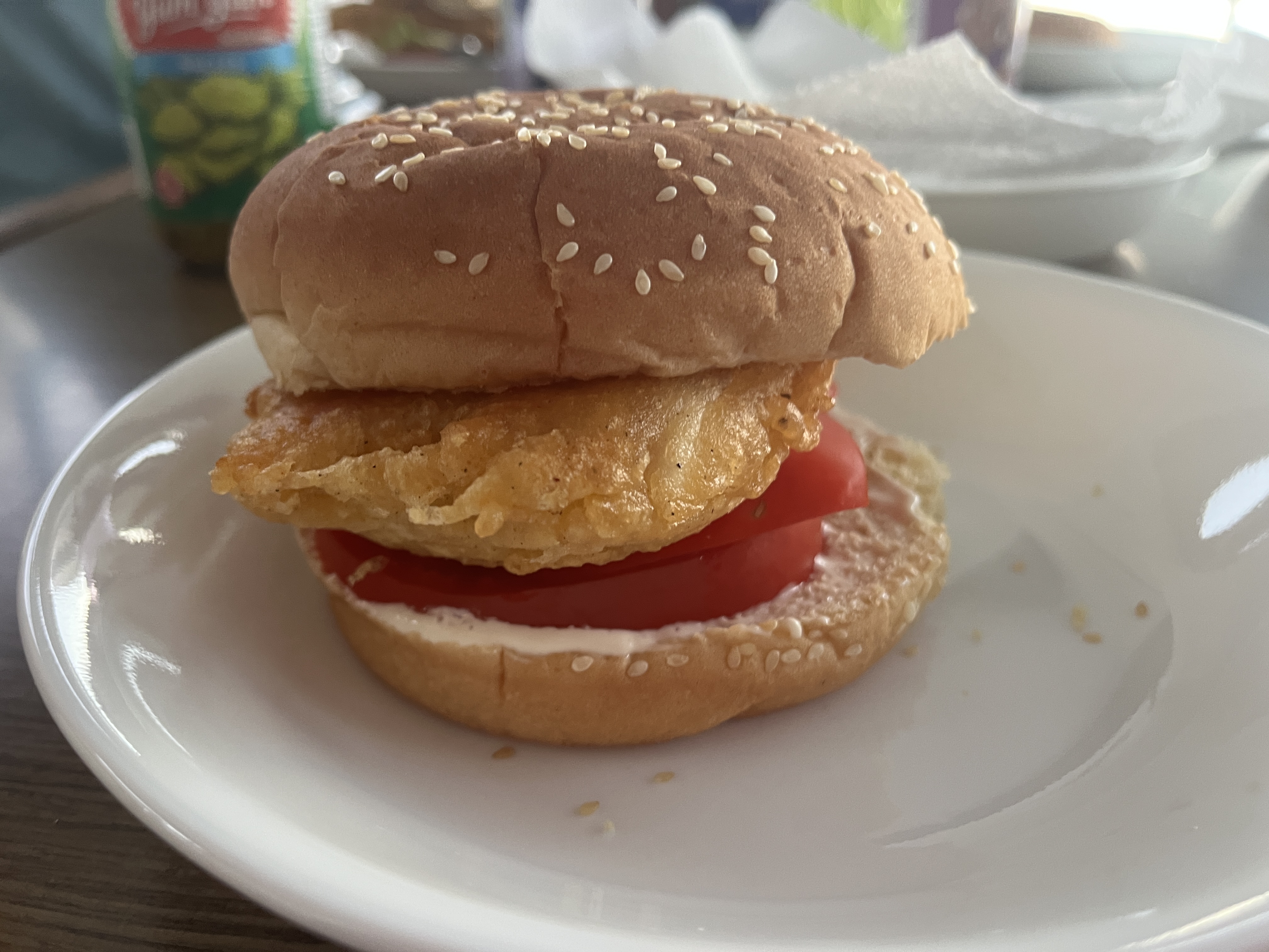
That evening we pulled some chunks of Ol’ Ms. Halibut from the freezer (the 40 pounder we’d landed in Canada) and our chefs made our favorite halibut dish – beer-battered halibut burgers. Yum! Amazing that we are still feeding ourselves from that massive catch.
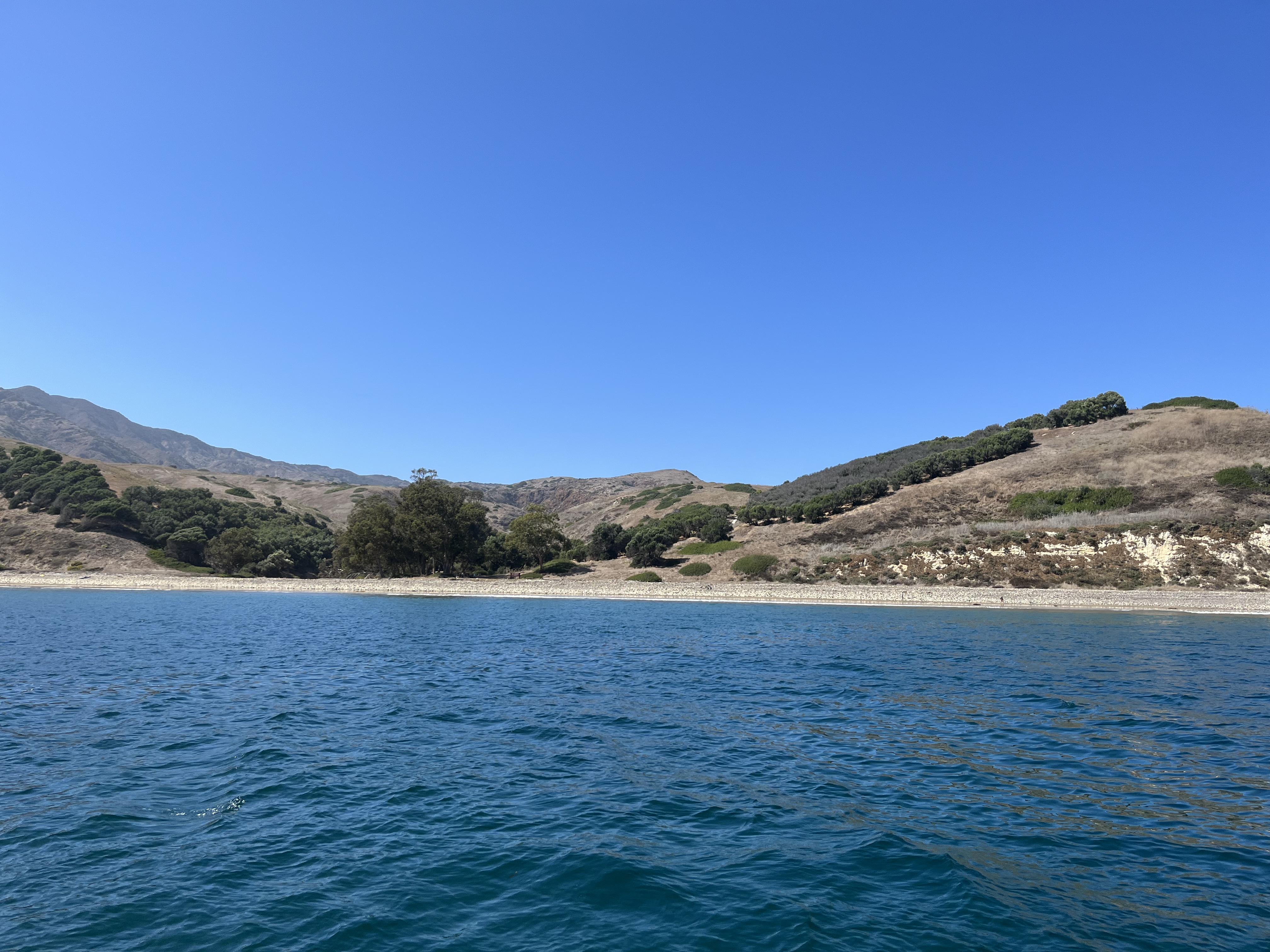
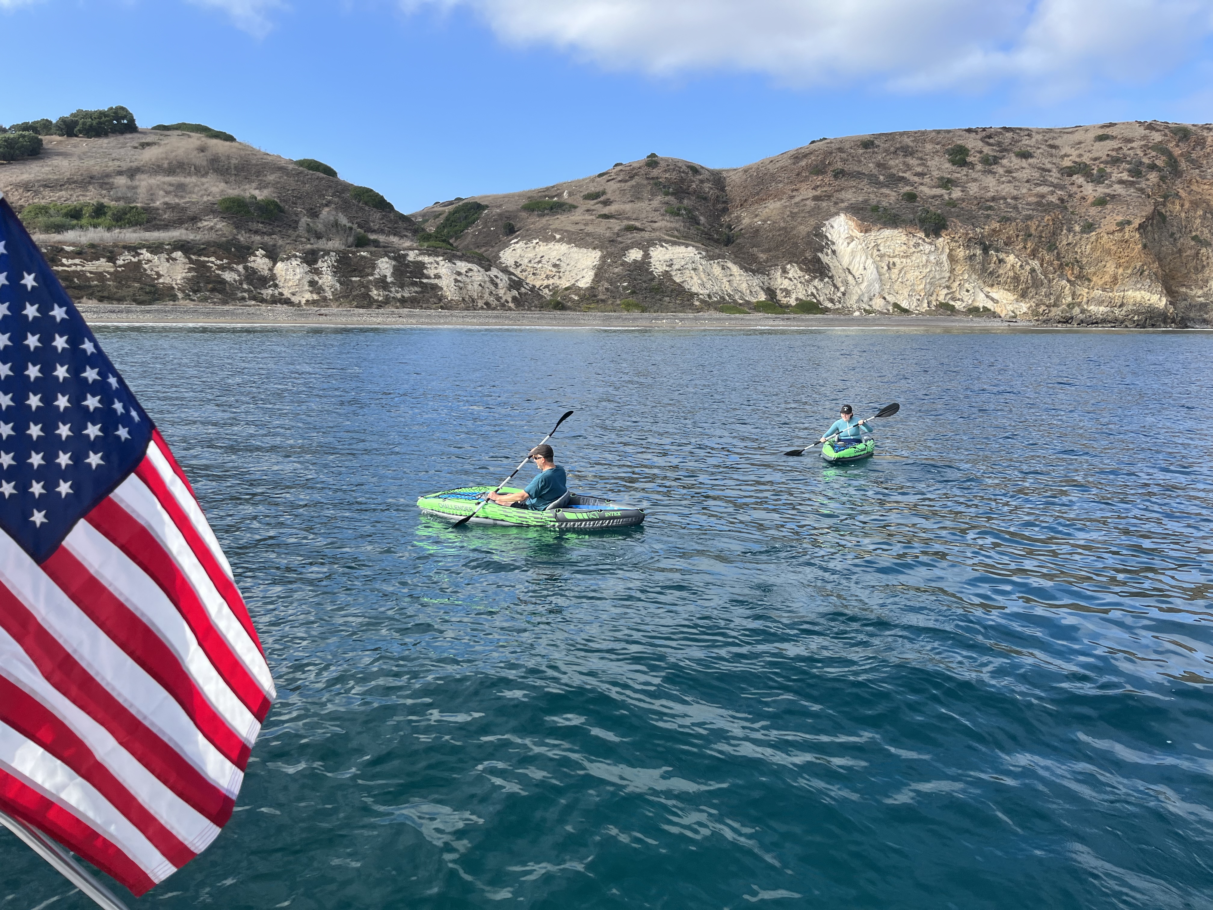
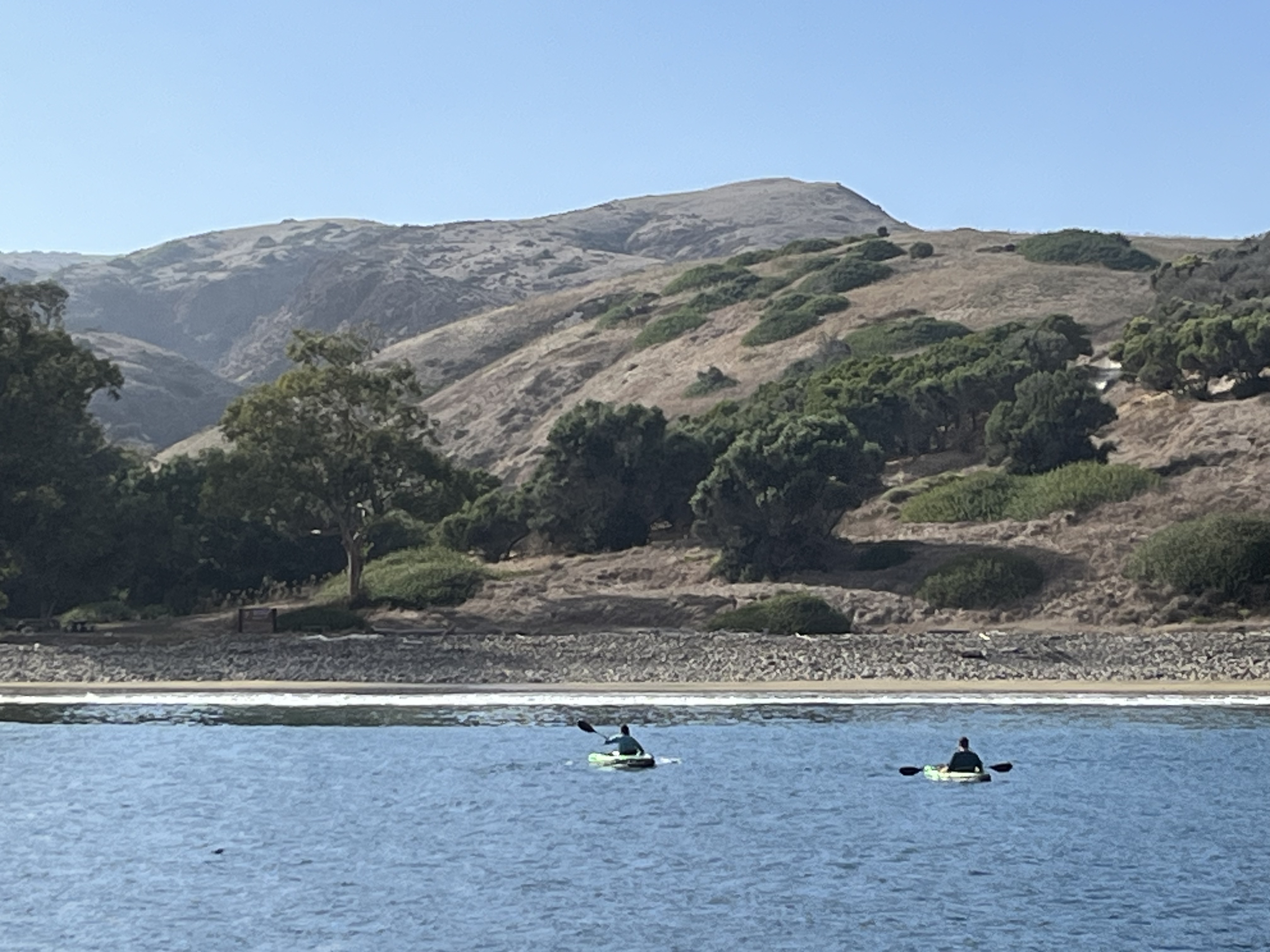
We decided we’d try to go ashore in Smuggler’s Cove, but were too nervous to take the dinghy in through the surf (with good reason – we later learned that one of our Coho friend boats had flipped theirs trying to land at a nearby island!). We figured we’d be getting wet regardless, so decided to try and land with our inflatable kayaks. Grace and I were the guinea pigs, and formed the first wave of the invasion.
The waves won this round – I bailed out of my kayak as soon as I was into the surf zone and waded ashore. Grace thought she could ride it in further, and was rolled. Luckily no injuries, but she was plenty wet!
The plan was for me to take the two kayaks back to Perception to collect Melinda, but having witnessed Grace’s performance she was wildly waving us off. She will surely survive this adventure the longest of any Perception crew member!
Grace and I turned inland and plodded soggily around for a bit. There is an old ranch house back in the draw above the beach that we stared at across the fenced preserve. A small fox emerged from the bushes to stare at us, coming quite close before scampering away. Sadly we have no pictures of our shore excursion as the dry bag was held back for the admiral’s now-aborted trip ashore.
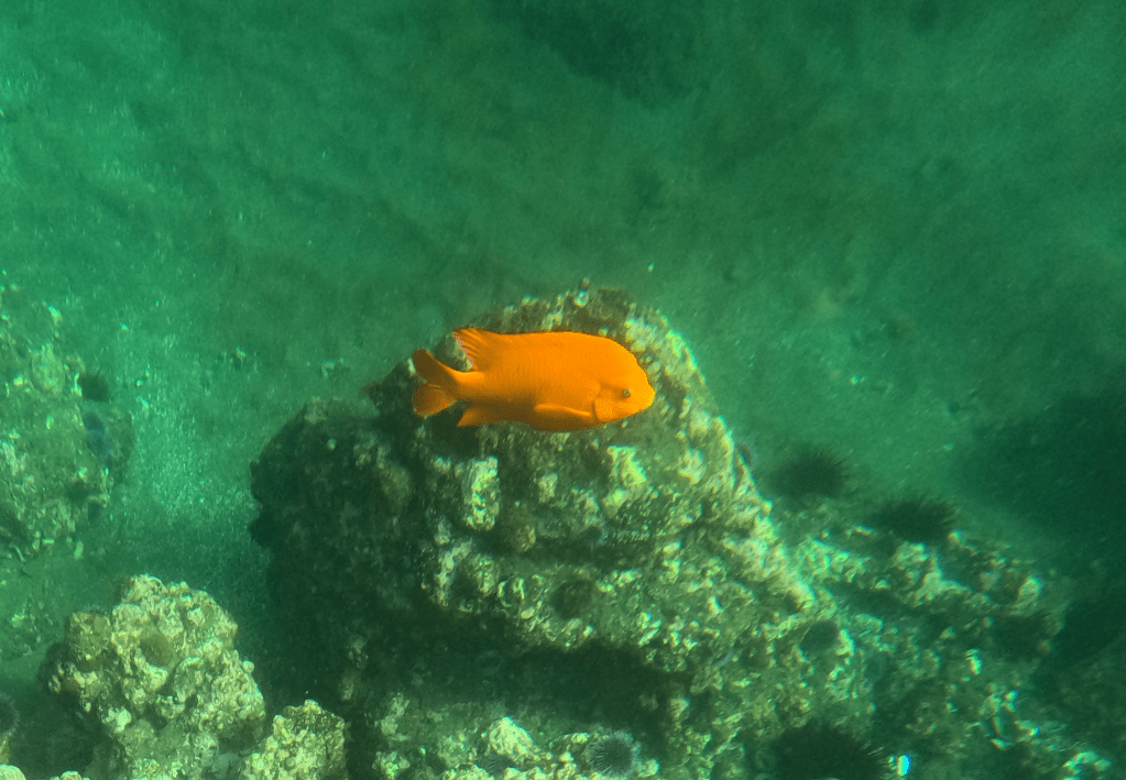
We ended up staying three nights at Smuggler’s Cove. We can’t say it was all that pleasant, as the swell was at a level that made us less than comfortable. As mentioned above, not really a protected anchorage! On the last day we took a quick trip around the east end of the island to Little Scorpion Cove, as the snorkeling was purported to be good there. This little adventure was not all that exciting for the snorkeling, though Grace did get some photos of Garibaldi fish – a large-ish wild goldfish common to the area.
The exciting part of the trip to Little Scorpion for the skipper was that we wrapped “something” around our port prop while there. We had dropped the hook in the cove and pulled back near some kelp strands, but I didn’t think we’d gotten into it. After pulling up our anchor to return to Smuggler’s Cove, I powered up the engines to a horrible shuddering vibration. The port propellor clearly had some issue that was throwing it off balance. Since Smuggler’s Cove was just a few miles away, we continued motoring there on the starboard engine to deal with it once we were tucked in for the night.
After we reached Smuggler’s Cove and anchored successfully, Grace dove on the port propellor to discover that it had been mummified in kelp. Amazingly tough stuff, the propellor itself couldn’t cut through it to clear, Grace had to painstakingly pull it off by hand. It was nearly unbreakable – definitely noted to avoid in the future!
Saturday dawned and we made the big leap southward to Catalina Island. We were planning to board some visitors the next weekend out of Long Beach and wanted to see if it would be a good place to take them on a boat.
The sail southward made me a bit nervous as the wind was forecasted to be relatively high in the afternoon, and we would be significantly offshore during that time if we ran slow. As such, this chicken-skipper ended up motor-sailing much of the way to get in ahead of the high end of the blow and the large swell that would likely result.
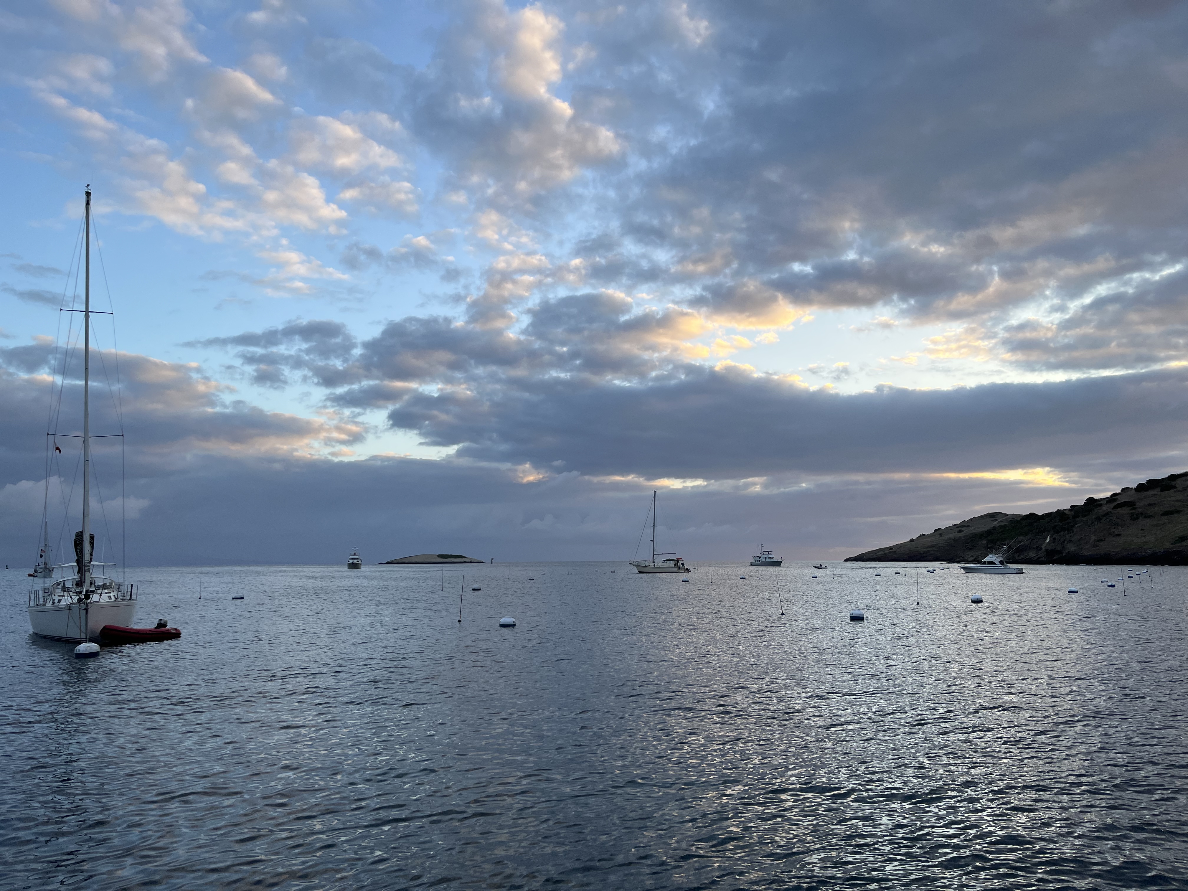
I felt much better as we rounded the northwest end of Catalina island and picked up some protection from the waves. We pulled in to Isthmus Cove and picked up a pair of mooring balls there. They have an interesting bow and stern mooring system to really pack the boats in. Amazingly there were 257 mooring spots in this little cove – but only about 20% of them were taken while we stayed. I really can’t imagine what the place looks like when full, but think you could almost jump from boat to boat across the water.
We stayed two nights in Isthmus Cove, mostly due to the fact that they charge you for two nights minimum. There wasn’t a vast array of things for us to do, and travel to other parts of the island was crazily expensive. Even the public bus was $18 per person for a one-way trip down to Avalon. We had dinner ashore the first night at the Harbor Reef Restaurant. Sunday we explored the little townlet of Two Harbors and hiked over to the Cat Harbor side of the isthmus to stretch our legs. In true California fashion, we scuttled quickly through a hail of “frolf” discs as we passed near the frisbee golf course and the Far-Side-esque array of goobs playing it.
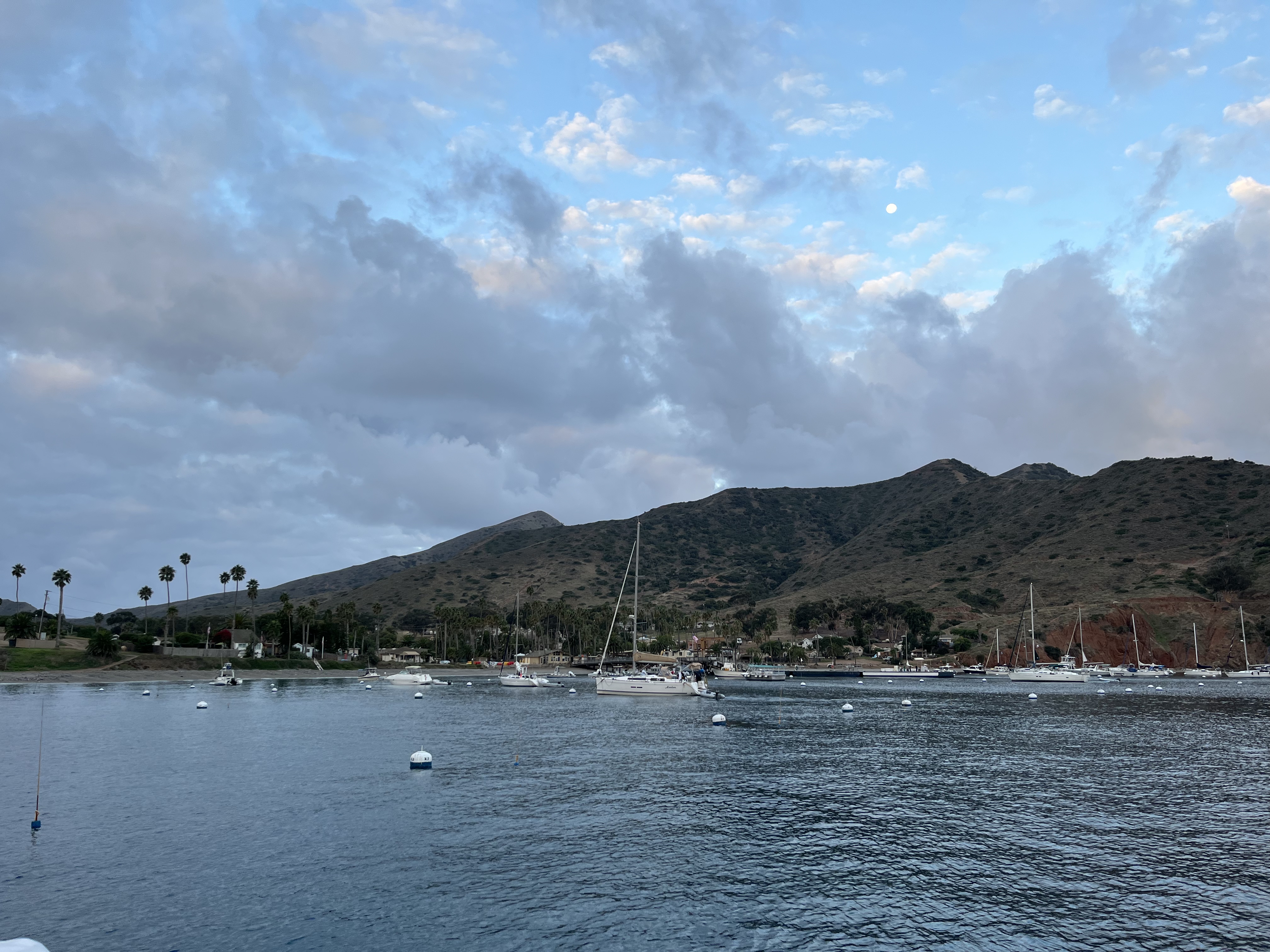
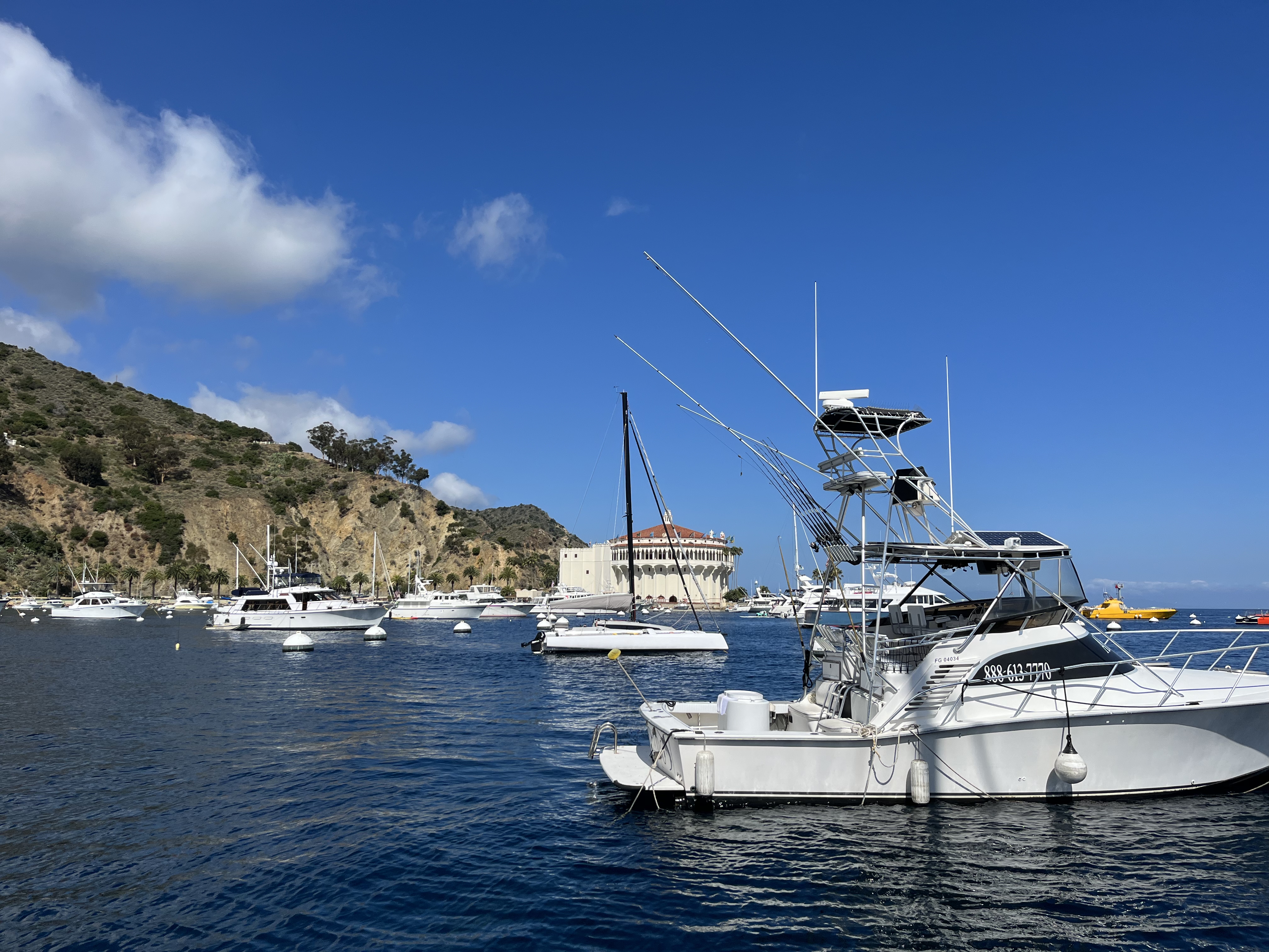
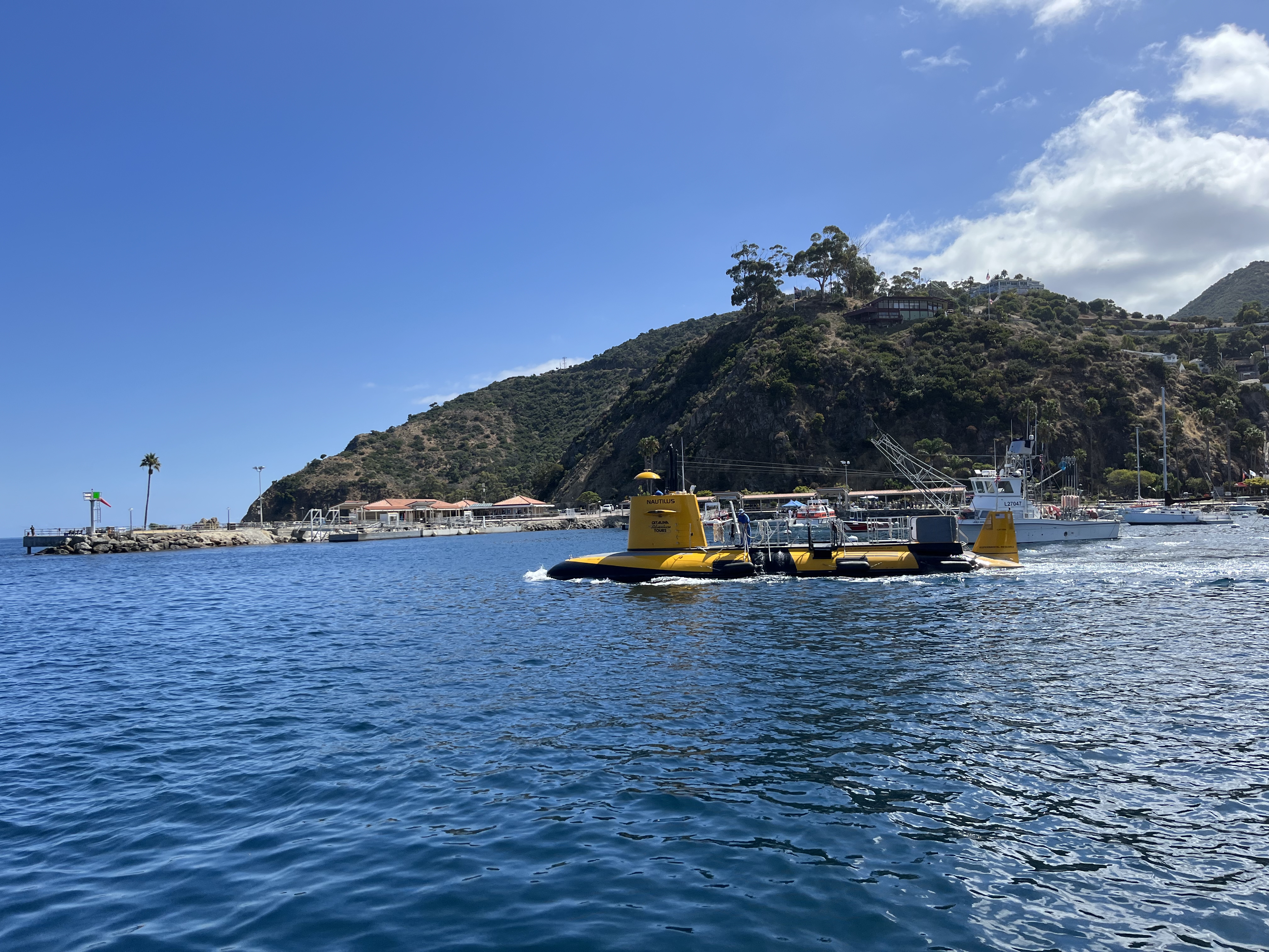
Monday Melinda piloted us down the coast to Avalon while I zoomed away the morning at work. We took another two-ball mooring there for the night. Avalon was much larger than Two Harbors, being a cruise ship destination and having many more shops, restaurants, submarine rides, parasailing rides, and even an ice cream shop (cruiser’s delight!). Needless to say we partook of the opportunity to feast ashore, but avoided the cruise ship denizens as much as possible.
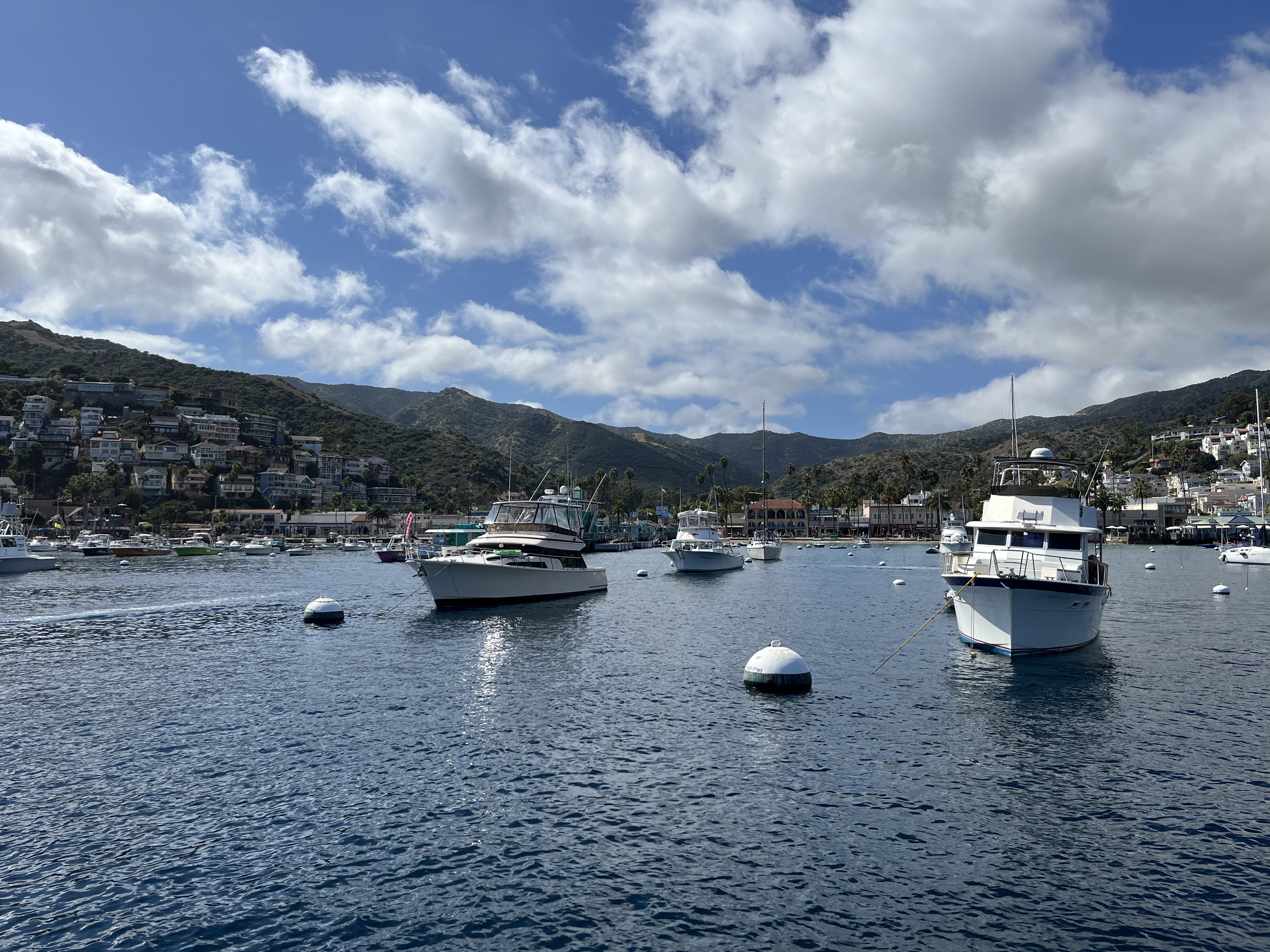
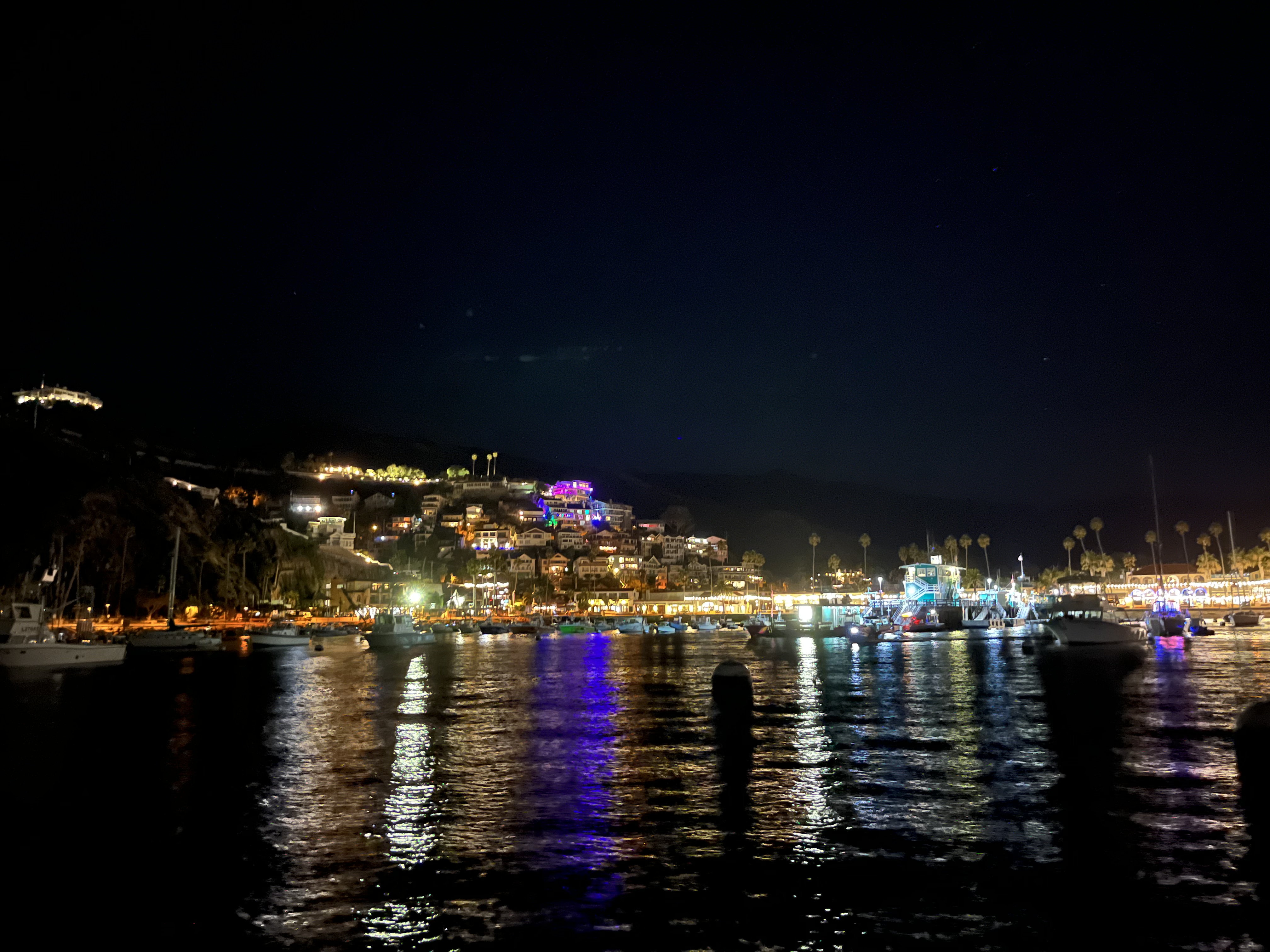
Avalon was lit up magically at night, and the sea state calmed remarkably as the boat traffic subsided. We spent a pleasant night there securely tied to the sea floor.
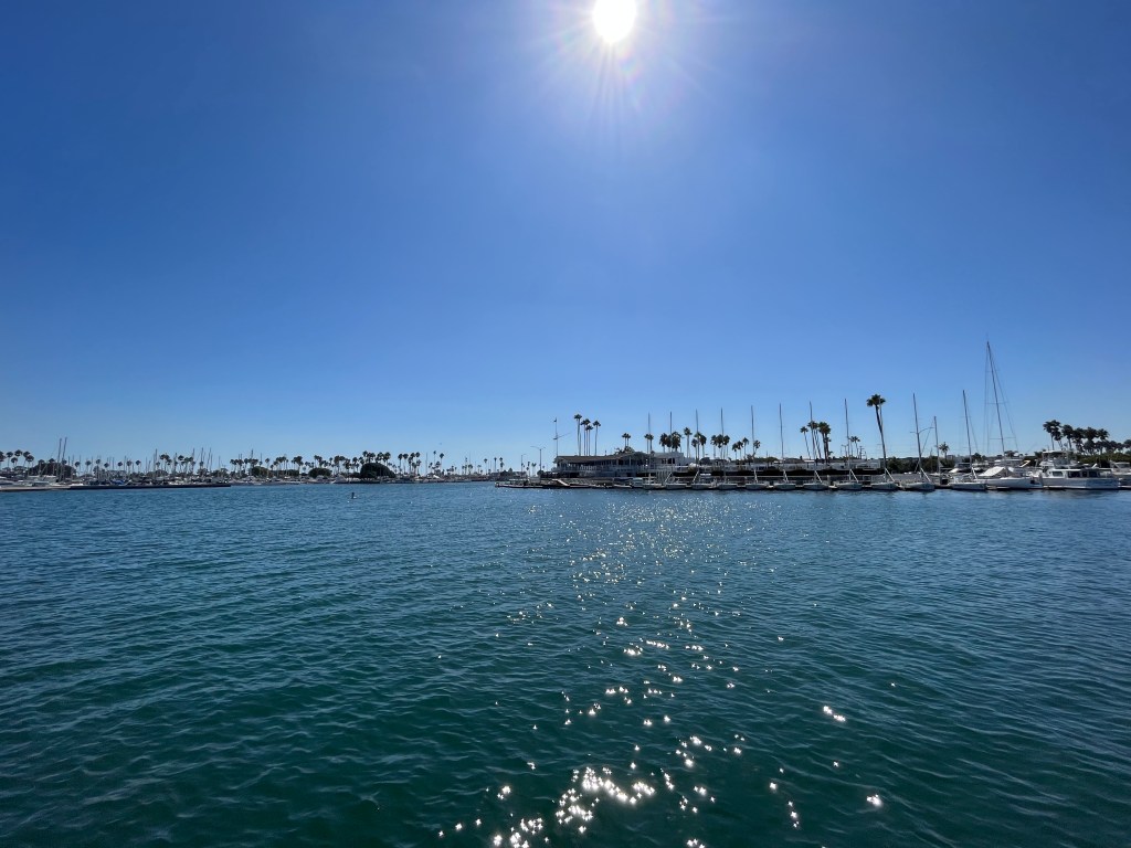
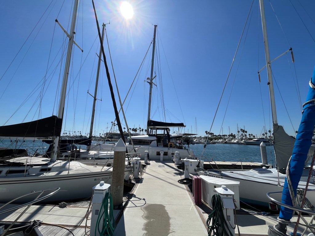
Tuesday it was go-time for LA., well at least for near-LA. We motored across the San Pedro Channel and cruised up the long breakwater entrance to Alamitos Bay Marina. It was time to do some real provisioning ashore and get the boat cleaned up for our friends’ upcoming visit.
This leg of the trip had a few good challenges for the Perception crew, with our first overnight leg including the Admiral, some higher wind and sea states than we’d seen before, and an engine disabling event that we handled smoothly. All in all a successful run from Monterey Bay down to Los Angeles.

One response to “September 22 – October 3, 2023: Santa Barbara and the Channel Islands”
More fun & interesting experiences as you make your way down the coast. Nicely done Perception crew!
LikeLike